Home » Destinations » Everest trekking to base camp
Everest trekking to base camp
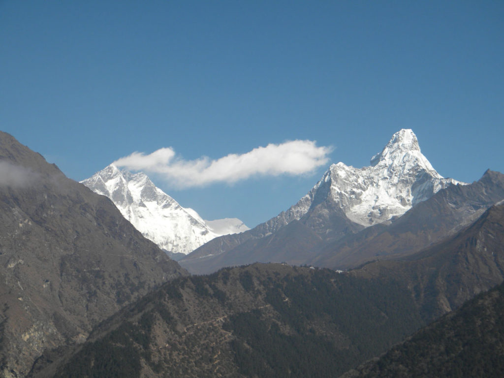
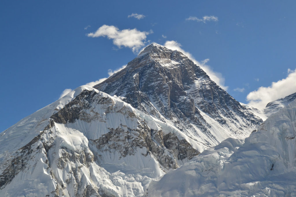
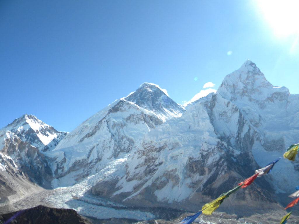
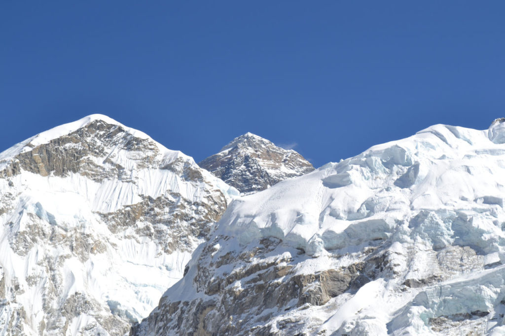
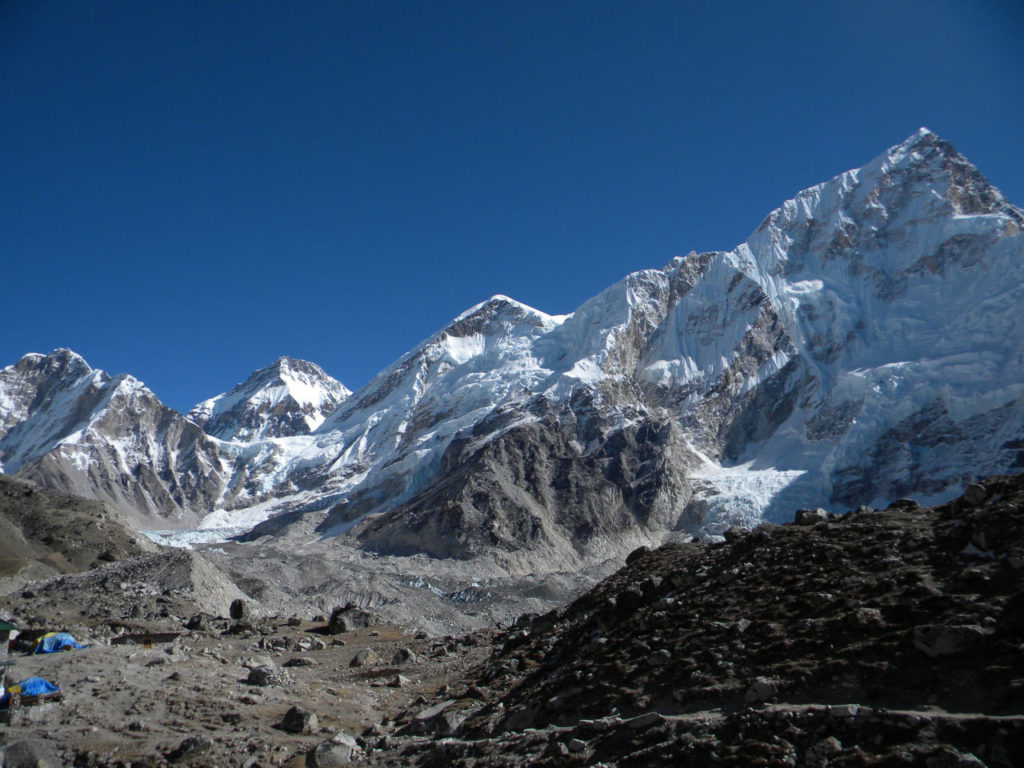
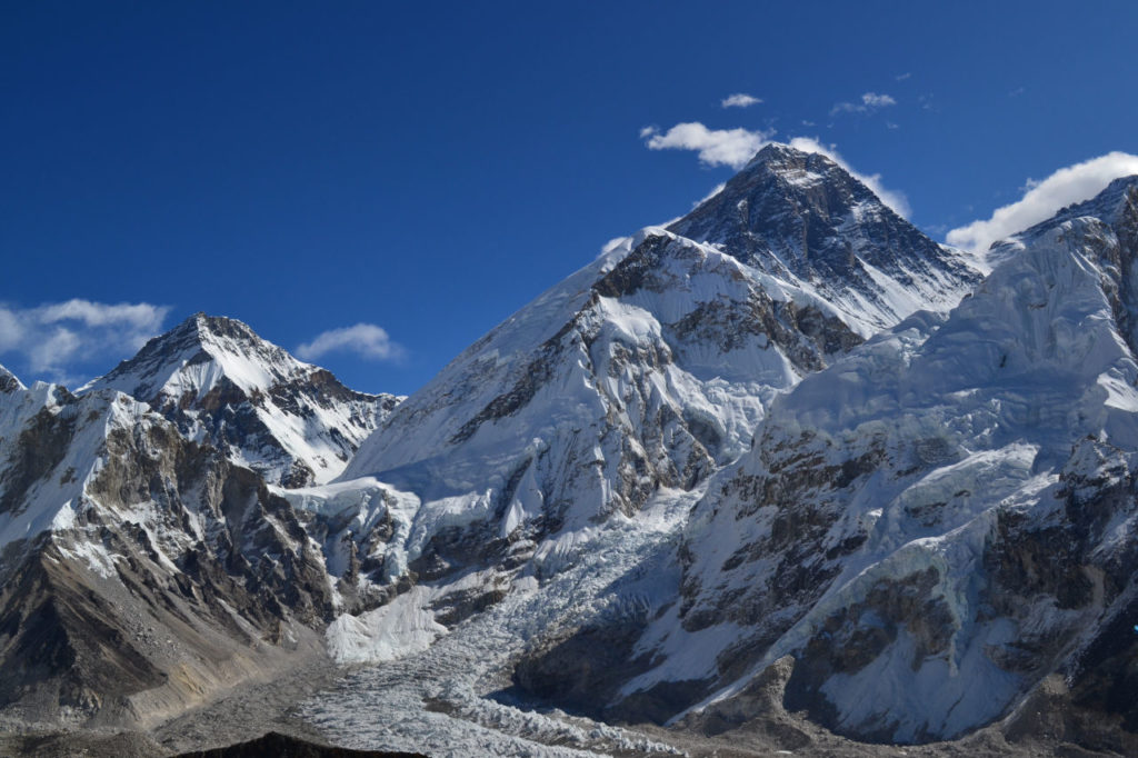
Everest, the largest mountain in the world. For many it means nothing. And I was included in the list of people who had no idea the meaning of this mountain, but sometimes we started a walk and we have no idea where it will take us.
Today I consider myself an experienced climber, but in 2003, I had no idea of this world. This my history is proof of the phrase, which I like very much, makes sense:
“The journey of a thousand kilometers begins with a simple step.” Lao-Tzu
I wanted to make a change and started doing some trails. The first was with Pisa trekking a crossing of Salesópolis to Boiçucanga beach, I was a beginner, I did not have any equipment, footwear or appropriate clothing, but I went anyway.
On the way back I went to buy some equipment, clothes, shoes and I continued venturing into more and better trails. I also learned about mountaineering and did the CBM (Basic mountaineering course) at the CAP in 2007.
From there the flights were getting higher and higher. I did Machu Picchu, Cordilheira blanca, Aconcagua and many others.
The idea
During a conversation with friends came the idea of making an expedition to Everest. In the beginning there were 12 people and in the end I was the only one.
In spite of that, the idea of an expedition to Everest was impregnated in my mind, although I found myself still inexperienced in high mountains and for going first in a country with a language that did not I understood that it continues with the plan. Everything fascinated me and I had the pleasant surprise that one of the initial participants, Sr. Jorge, came to go with me. So began the biggest adventure of my life until then, yes, it was 2011 and several other adventures have already happened after this.
Planning
At this time, I already knew that I would be an independent traveler, that means, I would do everything on my own.
However, because I was going to a totally unknown place, still being inexperienced in high mountains, I wanted to have a little more security. Through my contacts I got an agency (Explore Himalaya) in Kathmandu to “guarantee” my safety, but I did not want to be part of a package but rather make my own way.
I contracted a guide who spoke English, they arranged transportation to Lukla, hotel in Kathmandu and all the rest was on my own. I also wanted to do besides the traditional trekking to Everest base camp, go through the Chola pass (the highest step in the world 5420 meters) and go to Gokyo RI. That would make a trekking of 160 km and out of the traditional packages.
To have good weather, not having too much tourist and cheaper costs I chose to go in early November.
Sr. Jorge, as we affectionately called him, came across the plan and there we went.
The Trip beginning
We fly to Doha and then to Kathmandu. As we bought the tickets at different times, the connection with Katmandu was apart.
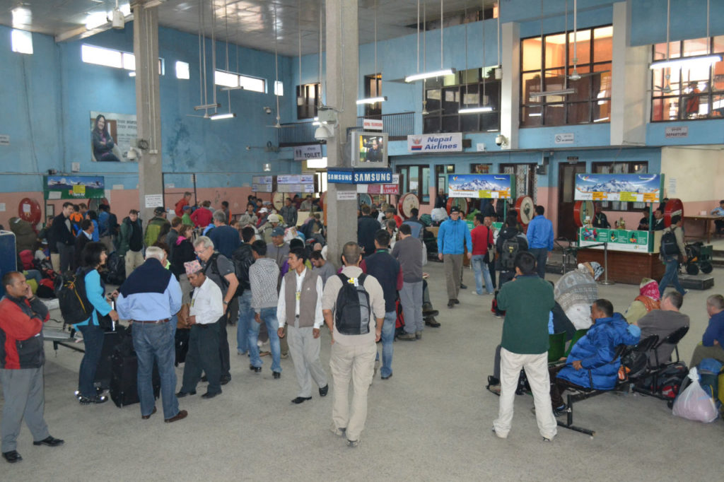
The first shock was Kathmandu airport: small and very simple. The staff at Explore Himalaya were waiting for me and we went to the hotel. We stayed at Thame, one of the best neighborhoods in Kathmandu, but you need to take into account that Nepal is one of the poorest countries in the world.
We had 2 days to get the details, equipment, logistics, etc. To our surprise, our bad luck began. The weather on Everest was very bad. There were no flights, it was raining a lot and it was like this for almost a week.
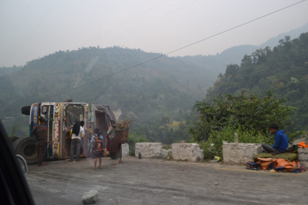
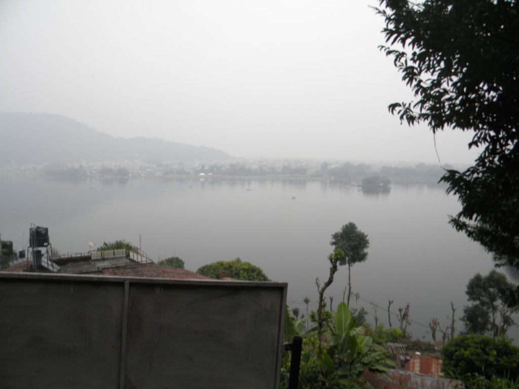
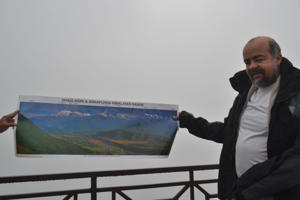
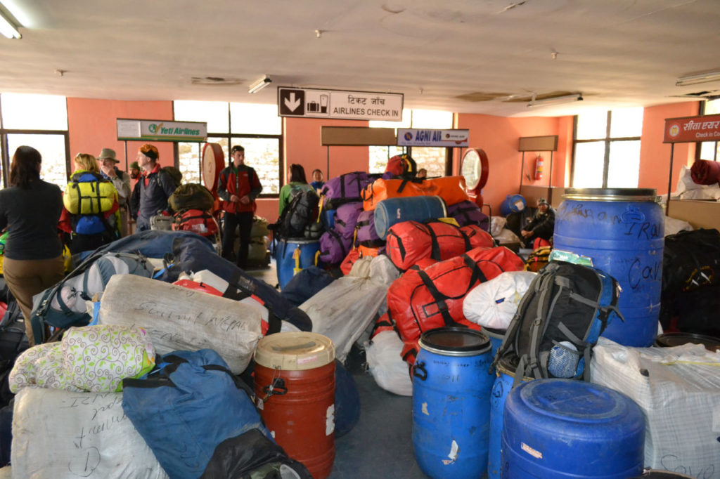
Our first attempt was a complete failure. We spent the whole day at the regional airport, that is, a very poor bus station and no flight. The next day we stayed at the hotel but could not fly. With the forecast only getting worse, we decided to go to Pokhara (Annapurna) for a few days, hoping to improve the weather. Although it was better to stay in Kathmandu, weather did not help and we could not even see the Annapurna.
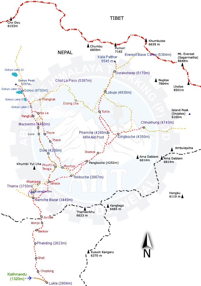
Everest base camp trekking map
Day 1 – First step - Flight from Kathmandu to Lukla
Three days later we returned to Katmandu and waited to be able to catch the flight to Lukla, this time we stayed in a hotel outside the city and on Sunday we received a warning that we could fly.
Finally! after a week of waiting we started our long dreamed trekking to see Everest.
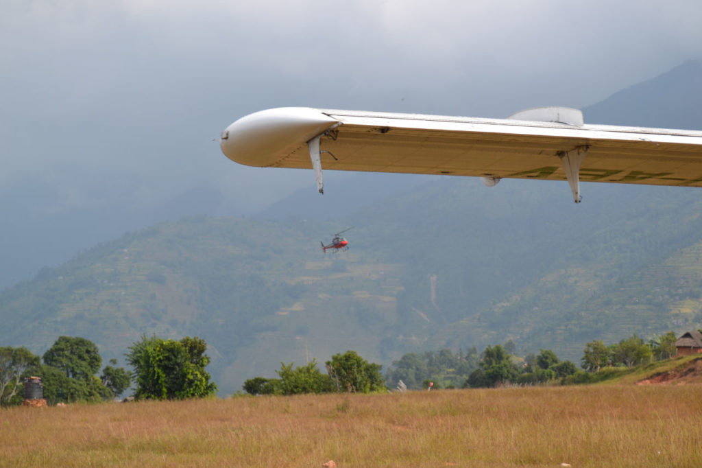
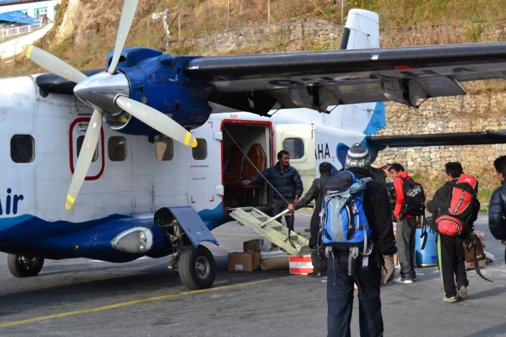
We took the flight and had a bitter surprise because as a consequence of the bad weather, they were flying to a mountain near Lukla and then we would make a helicopter flight to Lukla.
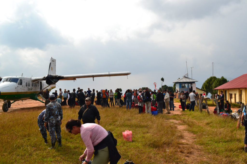
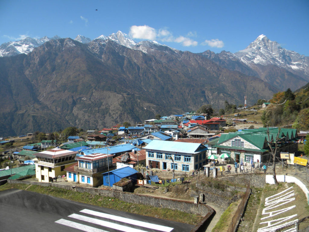
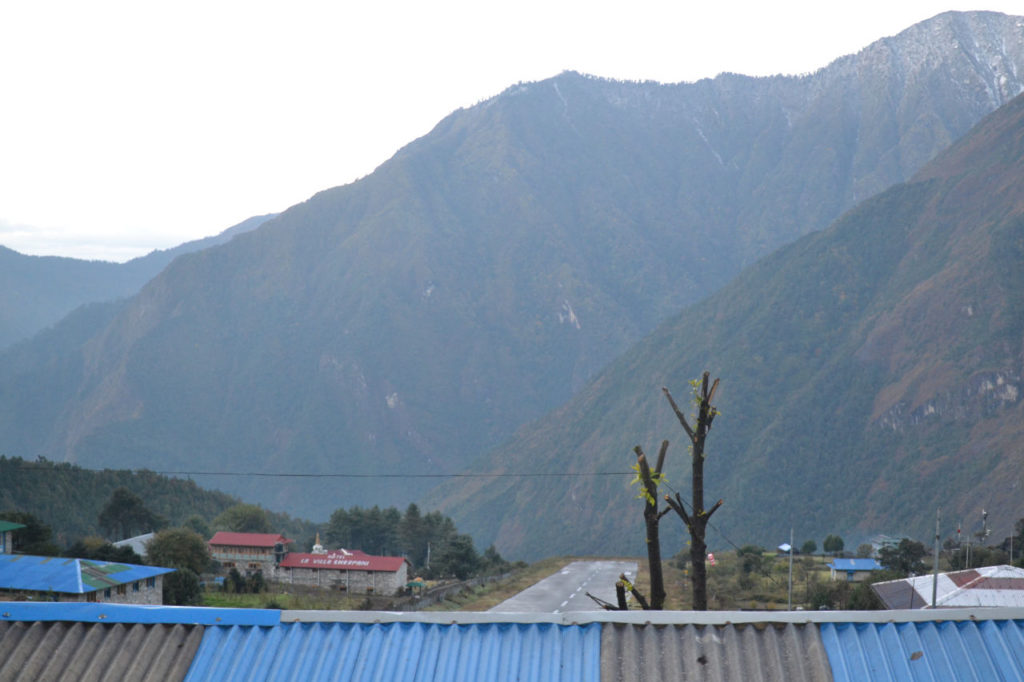
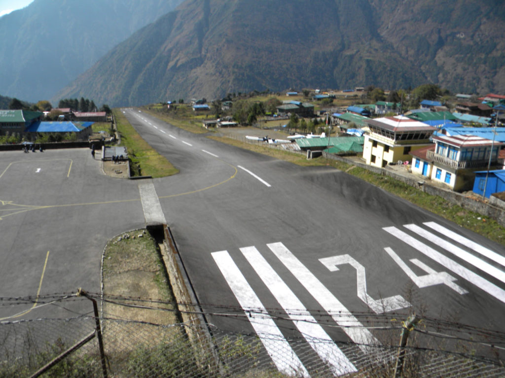
The airport is a “football field” without the slightest infrastructure, when we got off the plane I glistered. The lane begins in a ravine and ends in another. You can not make a mistake, or it just was, death right.
Airport? Did not exist. We arrived and stayed there, not knowing much what was going to happen.
We presented some almost accidents. One of the planes hit the runway and took offi, it was a very tense moment.
There were a lot of people waiting and we were already worried about how to spend the night there, because there was nothing.
Day 1 – Second step – Helicopetr to Lukla.
The helicopters came and went and we stayed. No one to give any information and time passing and the weather only getting worse.
After some confusion we were able to board the last flight of the day. When we went up to Lukla the weather was very closed and we had some difficulties.
Fortunately everything went well and we started the walk up hill until Lukla, who was in a fine rain.
And finally, after all this saga, we arrived at Lukla after nightfall, but at least we were beginning our walk.
We heard discouraging reports of people who were stuck in Lukla for more than 10 days, others who did the trekking without seeing anything, only rain and bad weather. There was not much hope in the air.
To make matters worse, maybe we could not start our trek, because our guide could not get there and, with the worsening of time, we did not know what could happen.
After a few hours, we got a guide. At first we had decided to carry our backpacks, however to hire a porter cost $ 100.00 for the entire trip. In the face of everything we went through, we had no doubts: nothing of suffering. Enough what we had already spent waiting for a week.
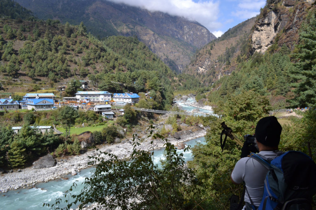
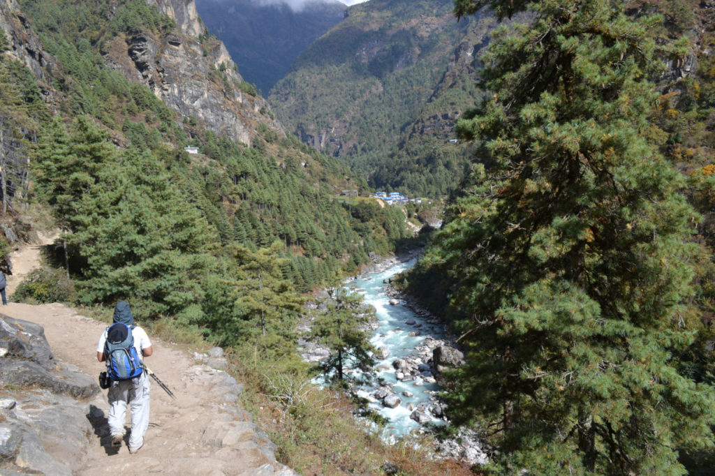
Day 2 – Lukla to Phakding – 9 km (4-5 hours)
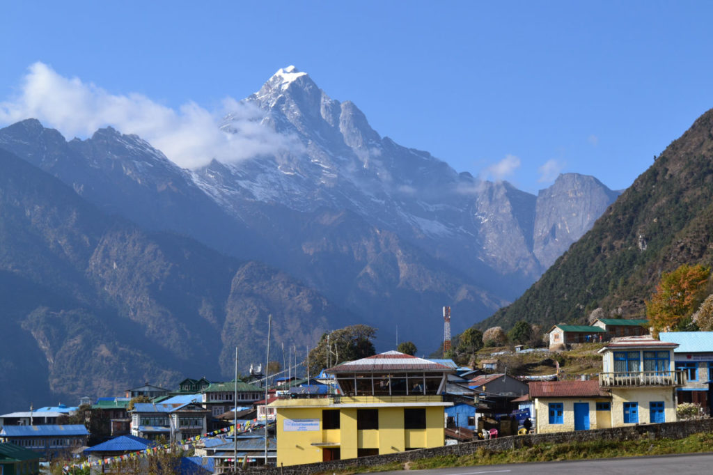
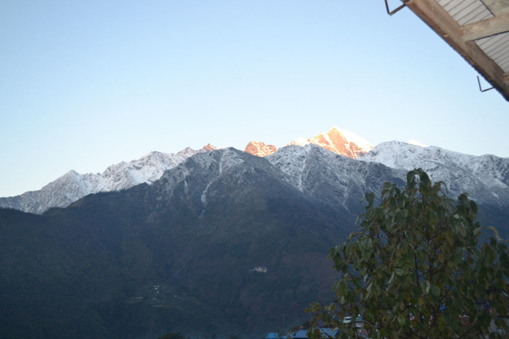
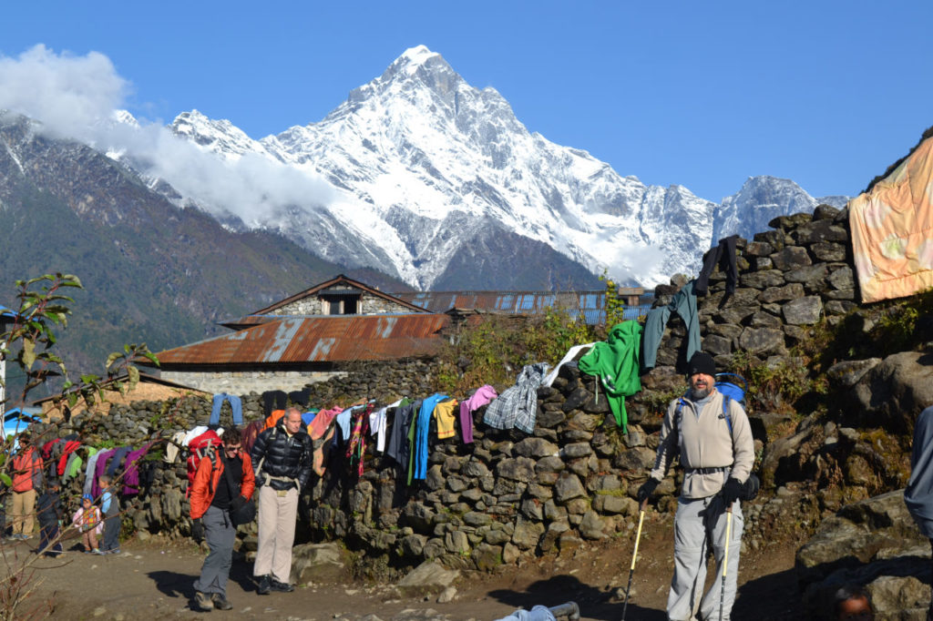
When daylight came, it was the most incredible sensation of happiness. For the first time after arriving we could see that there really were mountains in the Himalayas. The day was totally cloudless, blue sky. Unbelievable!
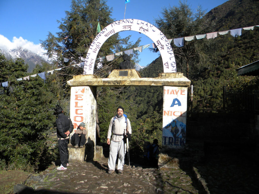
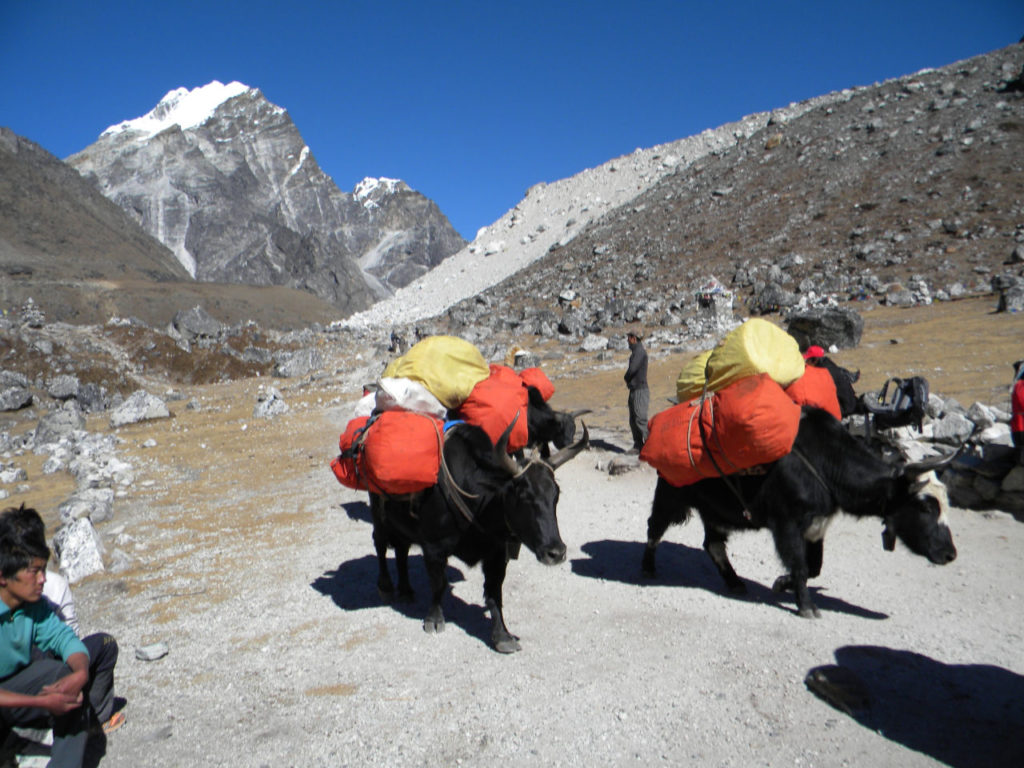
All that weight was gone. We had breakfast, we took a walk in Lukla and at 10 o’clock AM we set foot on the road. Oops on the trail as there is no road, everything is transported on foot.
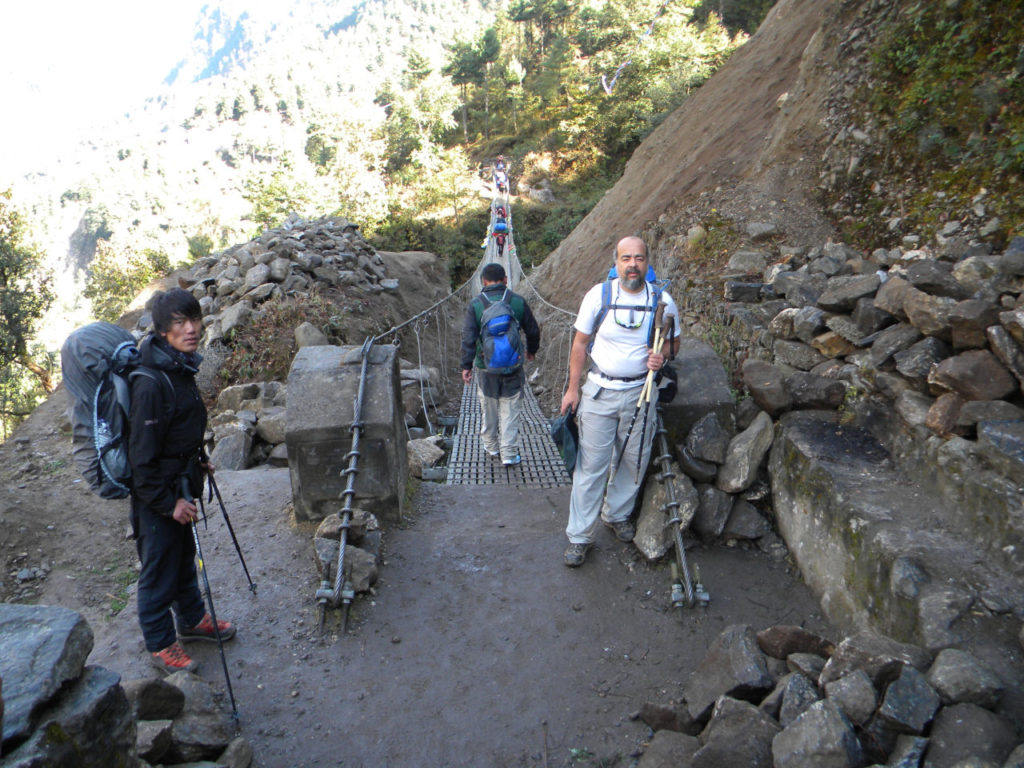
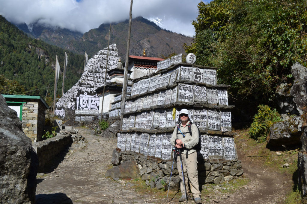
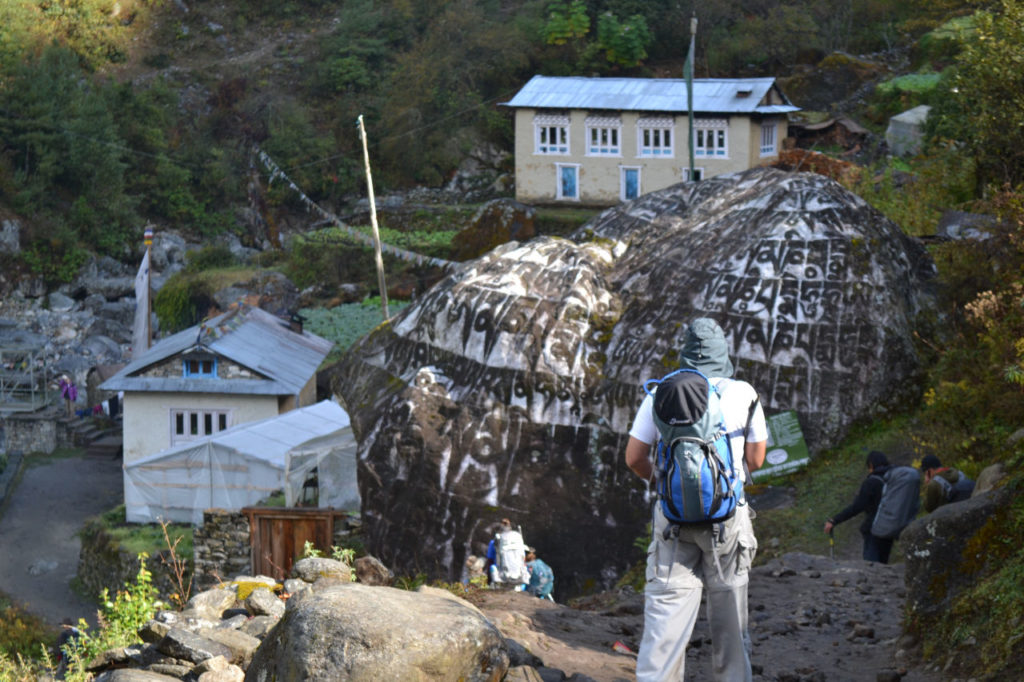
We were starting our trek to the Everest base camp. It was a quiet hike, we passed several bridges across the Dudh Koshi River. Overnight in Phakding
Day 3: Phakding to Namche Bazaar – 12 km (5-6 hours)
Now it really starts the climbs, again crossing the river several times. The bridges are all very modern, I could not remember a few stories that I knew.
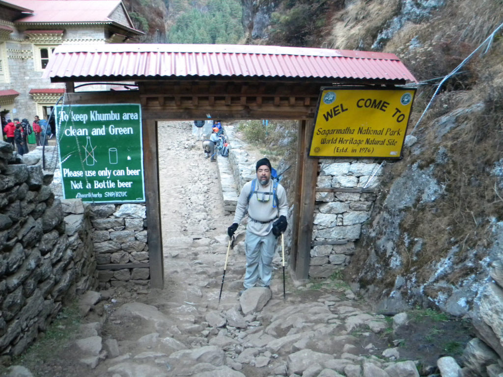
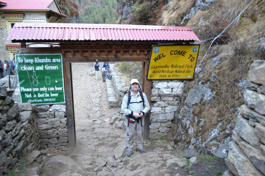
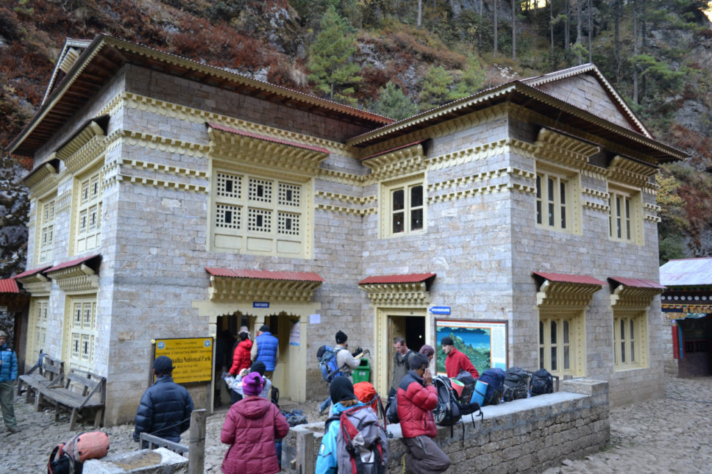
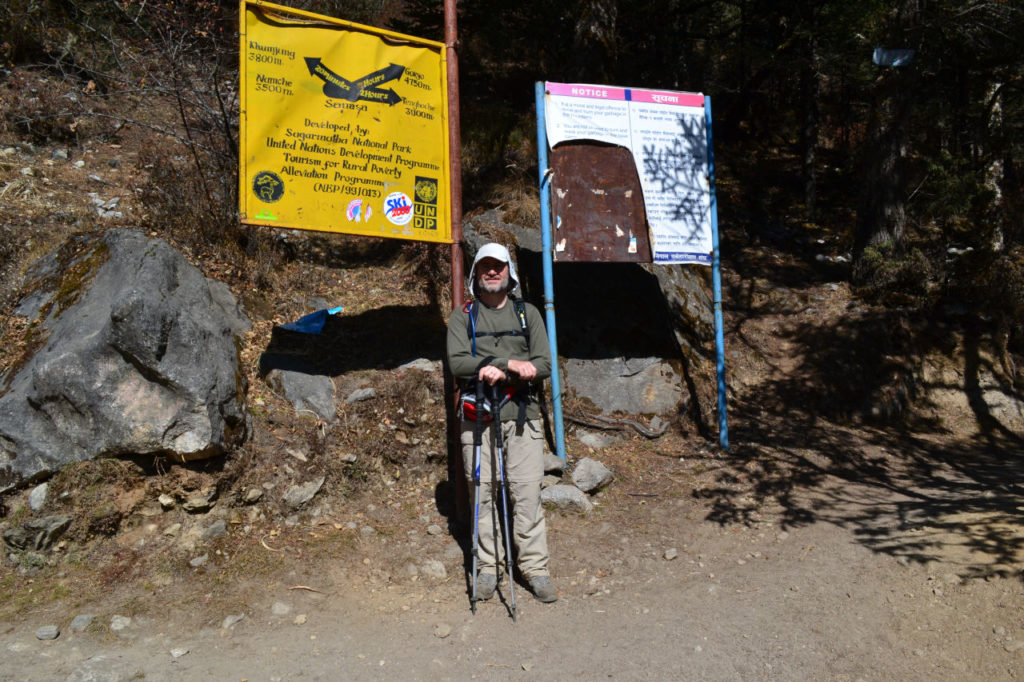
We entered the Sagarmatha National Park, in the village of Monjo. Check the permission for the trekking to Everest base camp and follow path.
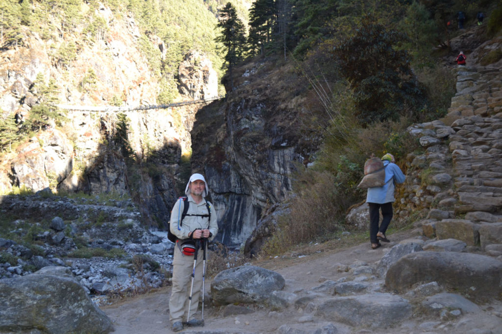
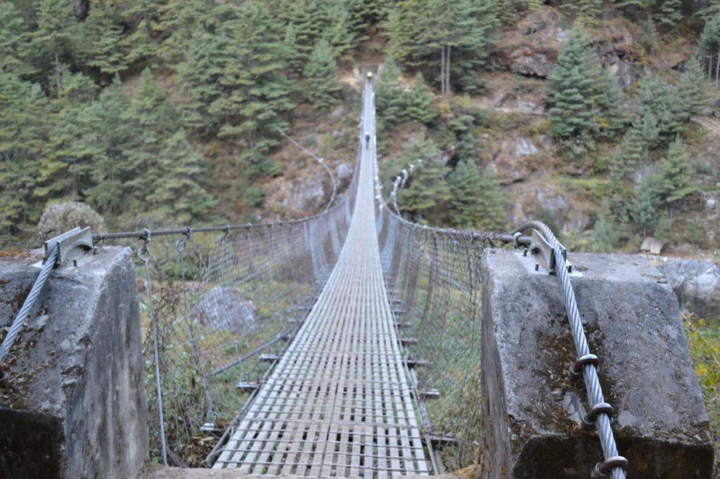
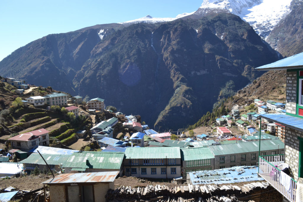
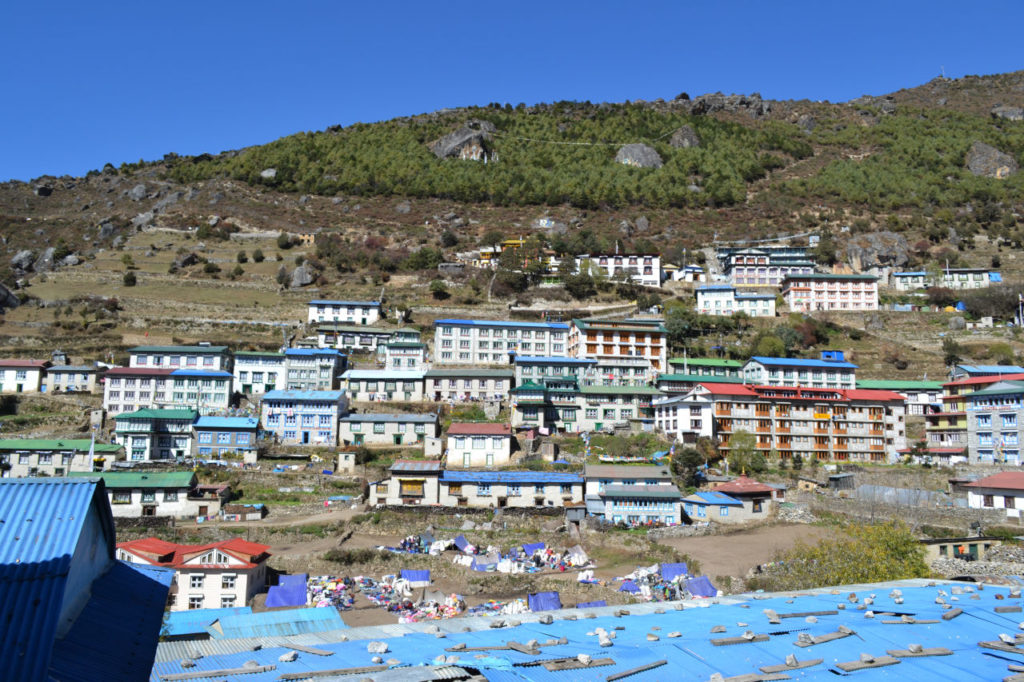
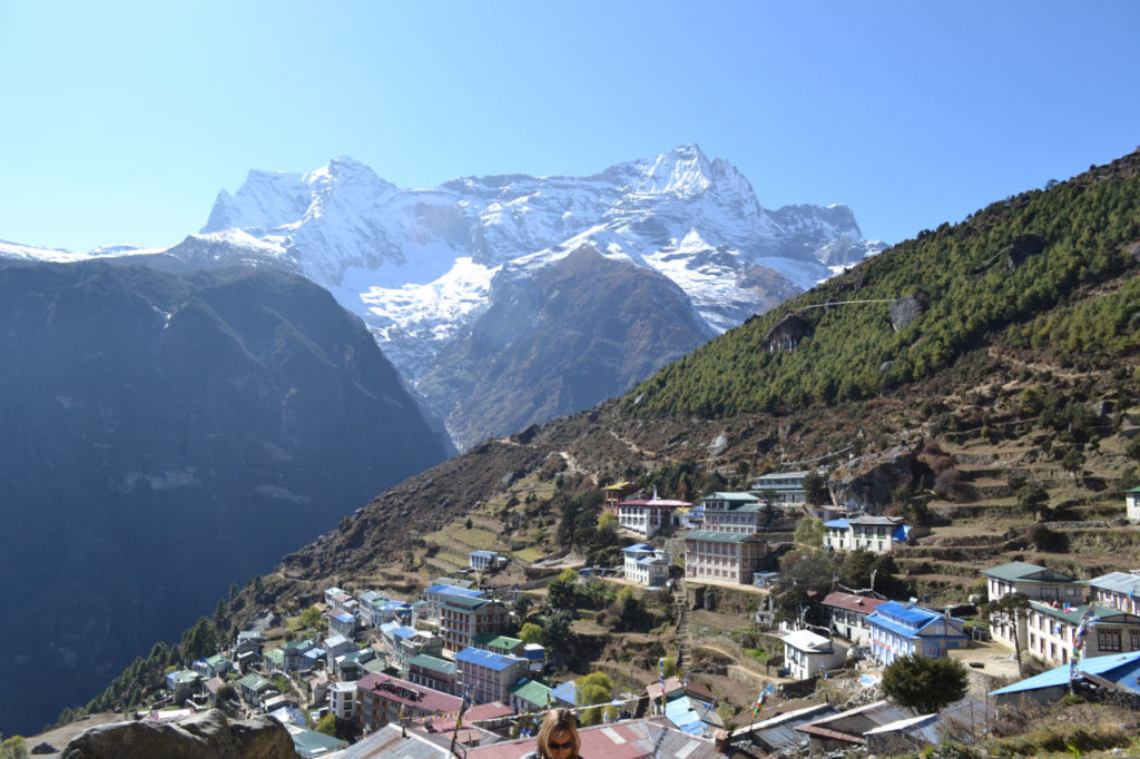
Near Namche Bazaar we pass by the highest bridge. It is suspended more than 100 meters from the river bed. In 2011 there was only the Hillary bridge, today there is one more. After a very steep ascent we came to Namche Bazaar, the gateway to Everest, considered the world capital of the serpas.

Day 4: Acclimatization day.
First day of acclimatization. The city has much to offer and is the center for all activities in the Khumbu region. It has all the facilities like ATMs, cafes and restaurants, it is also the last opportunity to buy anything you have forgotten.
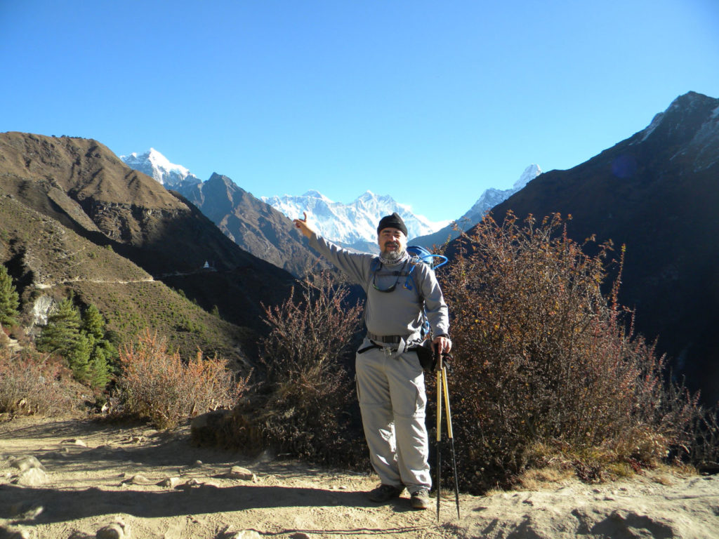
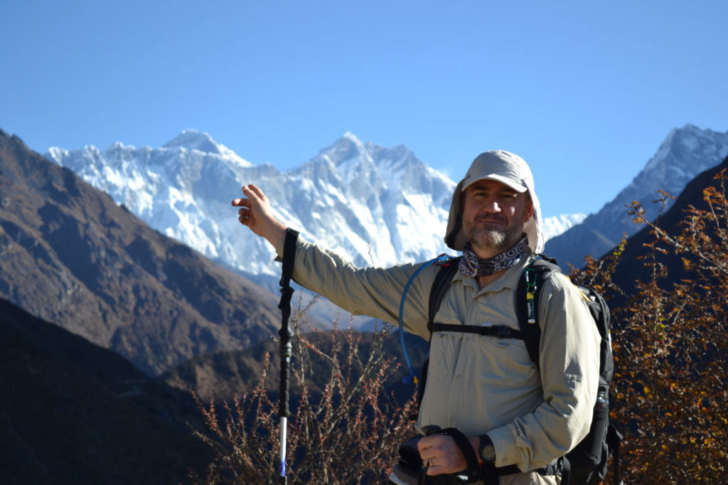
We walked through the city and faced a steep climb to the Everest observation point where you can have the first sight of Everest.
First was an emotion, then a small disappointment, because you only see a small triangle of the tip, because it is covered by other mountains. But in the end, the feeling of seeing Everest for the first time is indescribable.
Day 5: Namche Bazaar to Tengboche. – 10 km (5-6 hours)
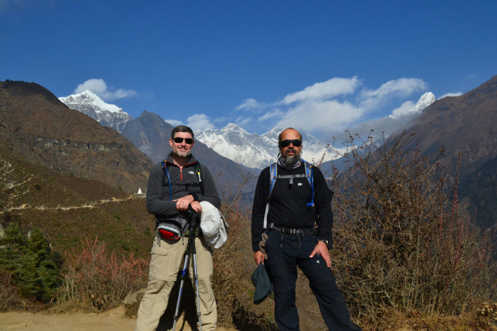
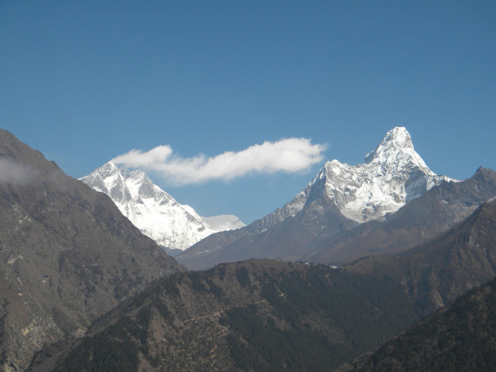
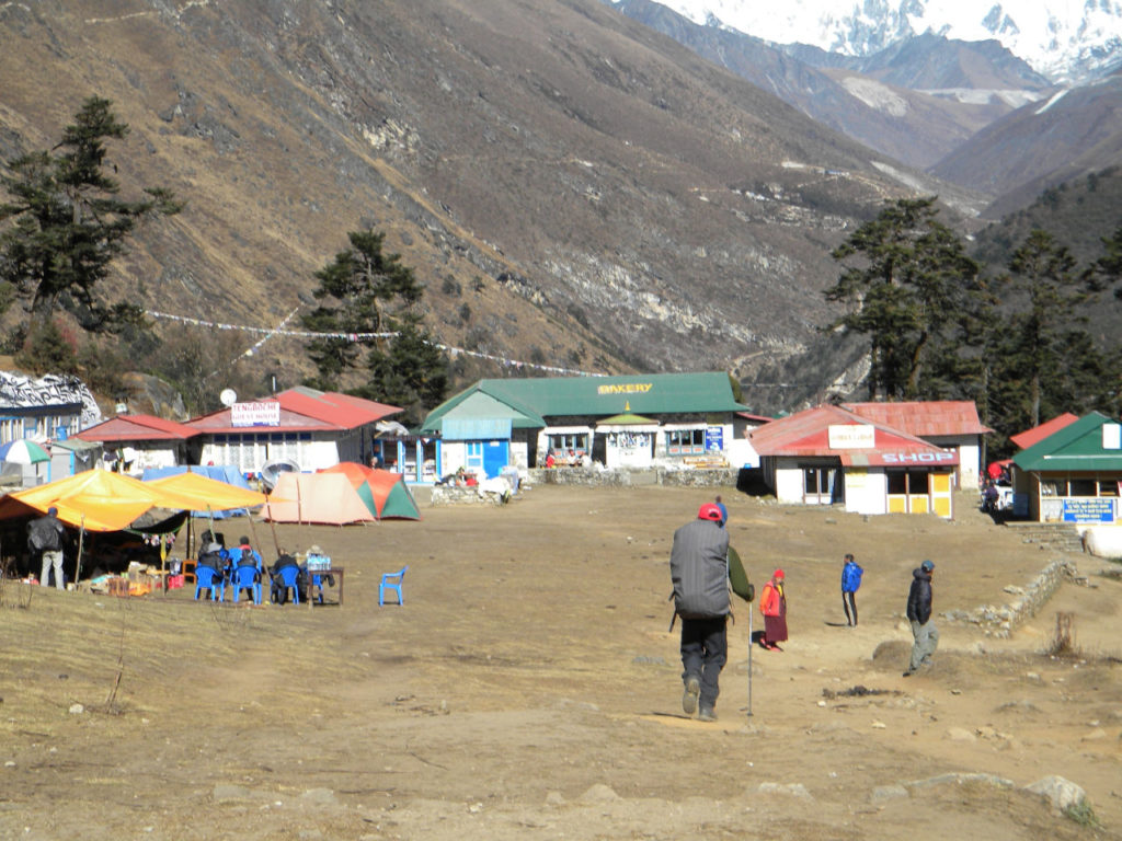
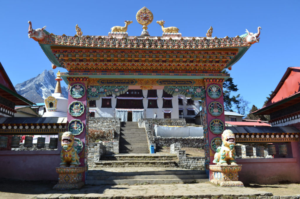
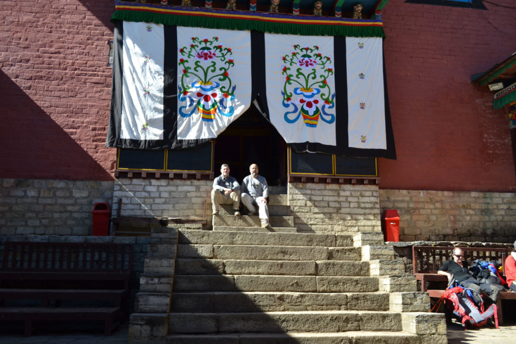
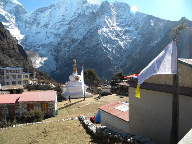
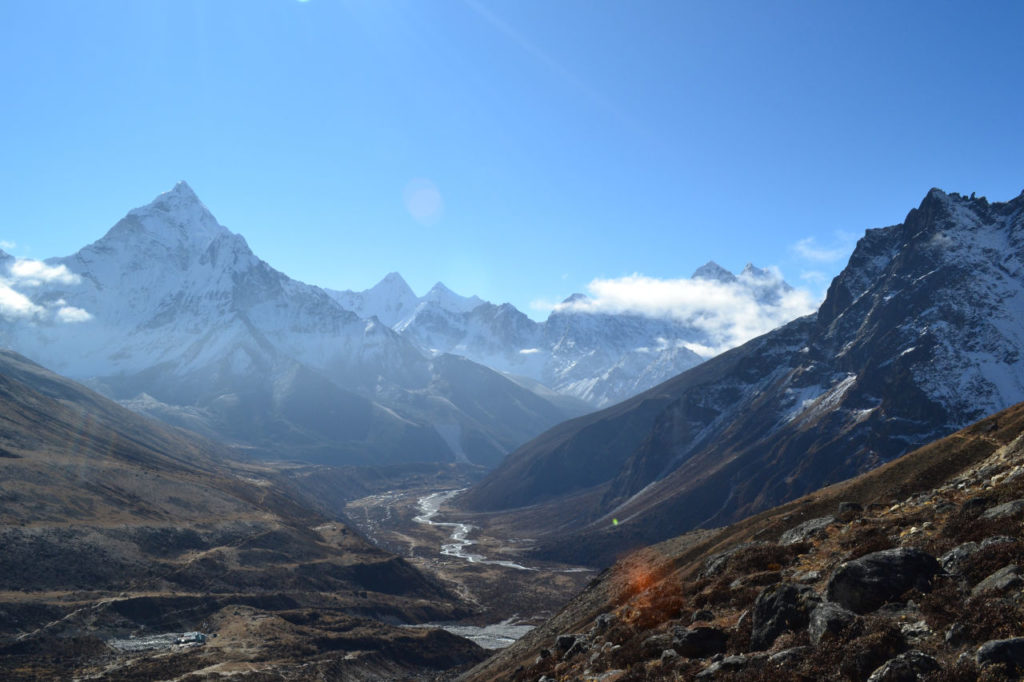
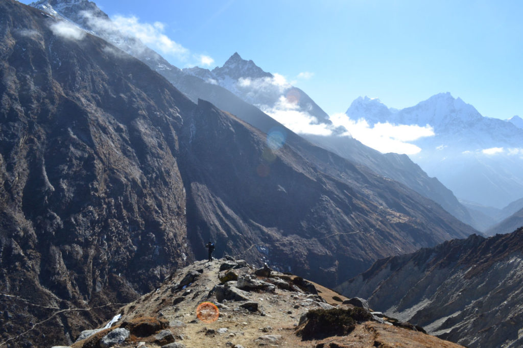
After the ascent to the Everest point view we follow a gentle path up the mountain. We arrive at a point where you have a beautiful view of Ama Dablam, Lhotse and Everest, continue on a long descent, cross the river and a long climb to Tengboche, where the main attraction is the Monastery (Dawa Choling Gompa), which is the largest monastery in the region.
Day 6: Tengboche to Dingboche – 12 km (5-6 hours)
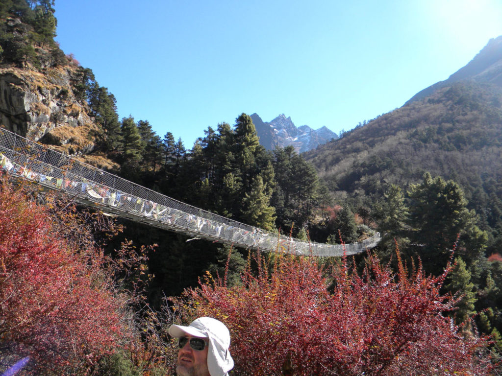
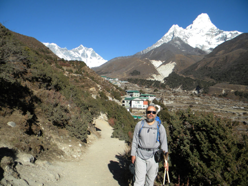
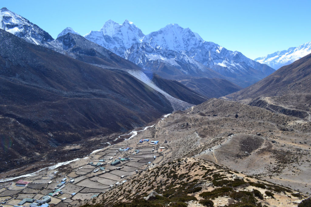
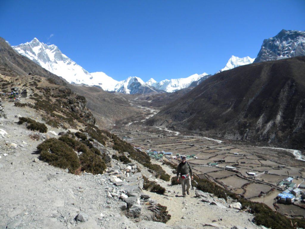
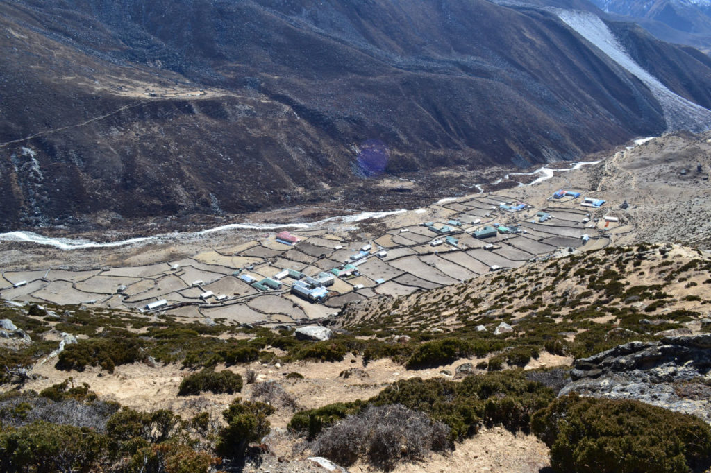
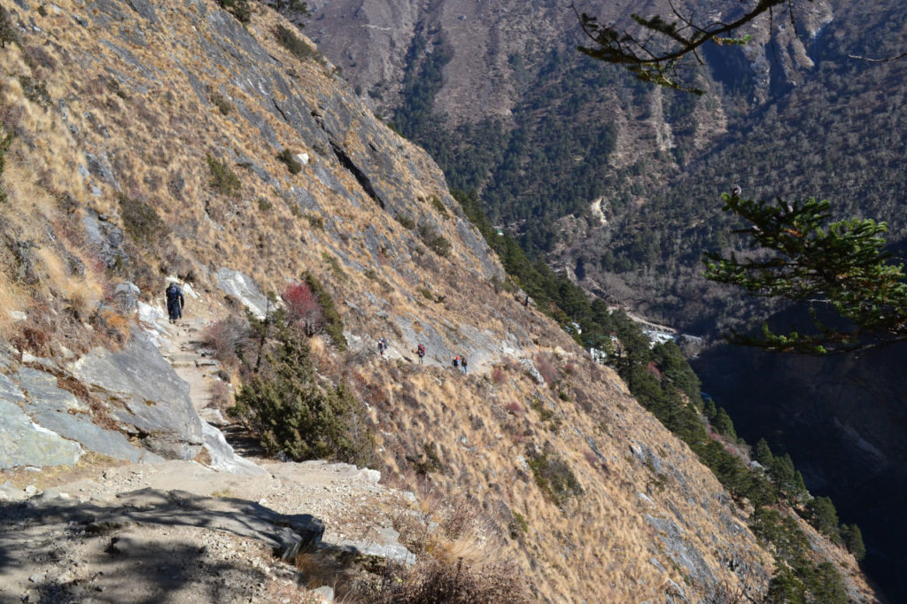
The trail begins pleasantly through the conifer and rhododendron forest to Milinggo, where it descends abruptly to a suspension bridge over Imja Khola and begins the ascent to Pangboche and then continues uphill until we pass through the levels of the trees entering an arid landscape of altitude until arriving in Dingboche.
Day 7: Second day of acclimatization.
As Jorge was not feeling well, we decided to stay just in the vicinity we climbed the mountain ahead and returned to rest.
From Dingboche you have a good view of Ama Dablam (6,856 m). Going up to the Nangkartshang Monastery, you can see Makalu (8463 m), the fifth highest mountain in the world, Lhotse, Mt Cho Oyu and the Imja valley below
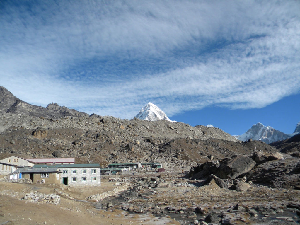
Day 8: Dingboche to Lobuche – 12 km (6 hours)
With each passing day, the trail becomes more and more difficult due to the altitude.
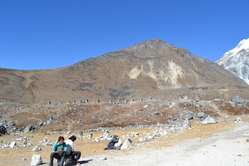
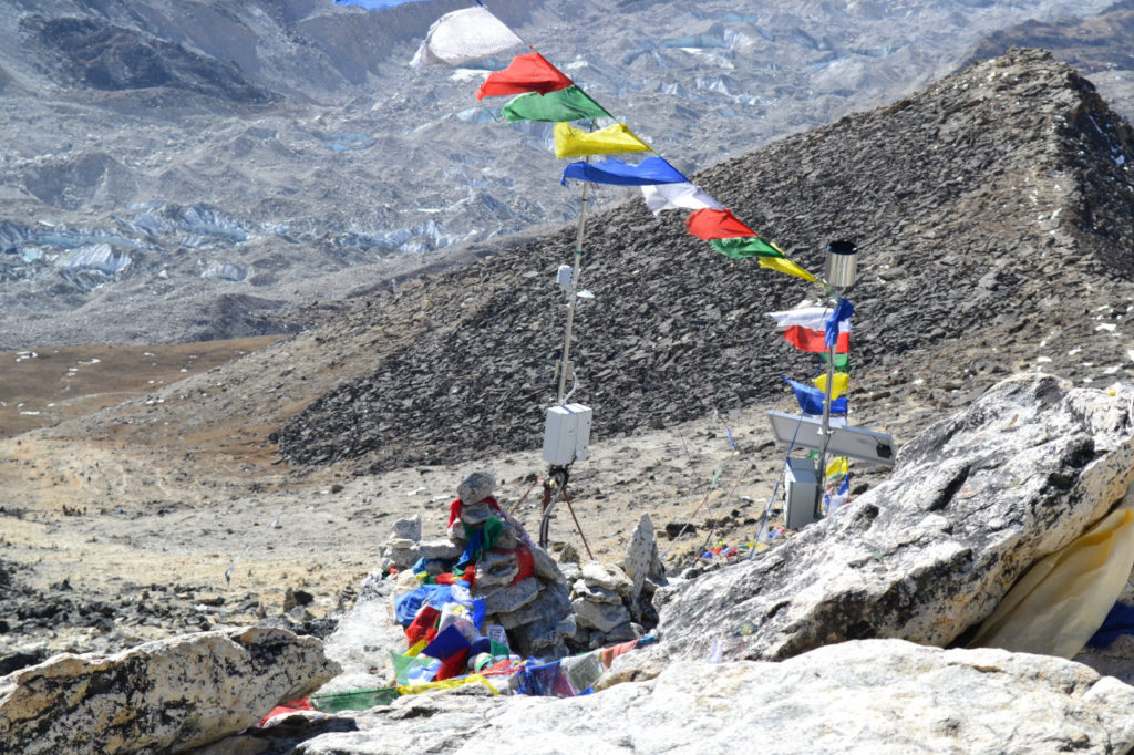
The path continues to rise slowly, a descent to a glacier stream and climbs in the moraine of the Khumbu glacier. Then, at the top of a plateau, it has a very special place, where there are the totems with the memories and tributes to the lost climbers and Sherpas on Everest.
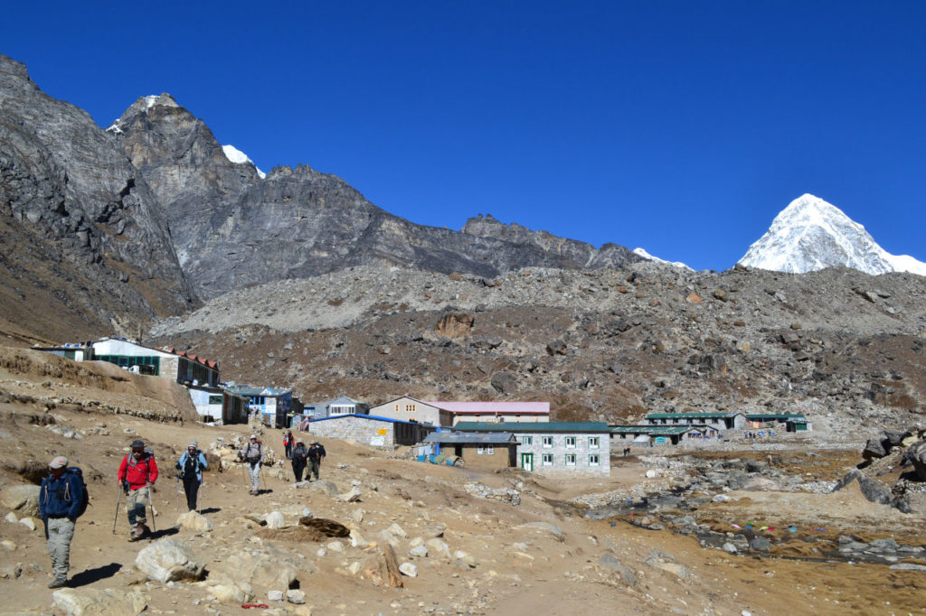
We can see many famous mountains like Pumori and Nuptse, just not Everest yet. It continues a climb up the moraine until arriving in Lobuche, where we arrived in the late afternoon and the temperature dropped to -10 degrees at night.
Here already were several people going bad and some had to get down by helicopter.
How to plan your trip around the world of your dreams.
Get the knowledge and tools that will make you an expert in traveling around the world, with
- Total freedom of choice.
- Lower cost because you do not have to pay anyone to do it for you.
- You can change your plans at any time and for any reason.
- You can cancel, change and simply do not pay fines or penalties.
Day 9: Lobuche to Gorak Shep, return trip to Everest base camp to Gorak Shep - 12 km (5-8 hours)
We woke up with a freezing cold, could hardly go outside. We wait for the sun to arrive and we start the trek to finally see Everest.
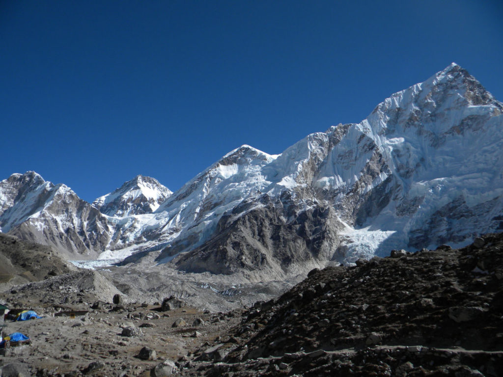
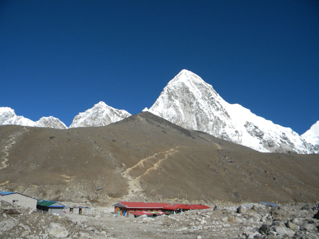
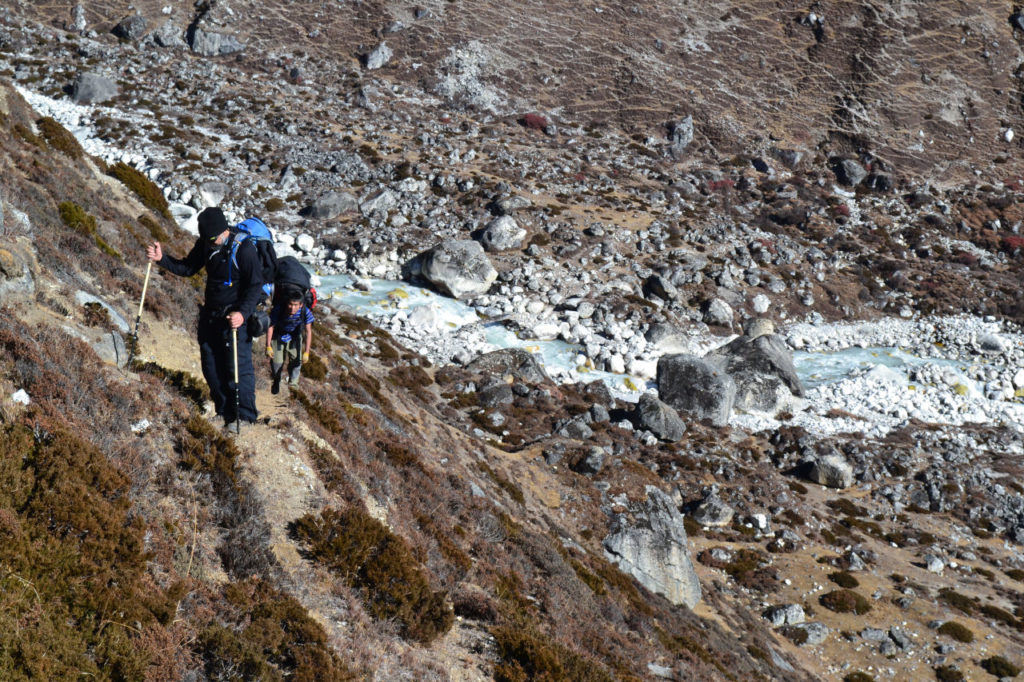
The trail to Everest is very painful to be in the moraine and bordering the mountain wall. The trail may change at each season depending on the movement of the glacier and continues until reaching Gorak Shep. From this point it is possible to see the Kala Patar trail, but not its summit, we stop for lunch and rest and soon after we continue the trek through the moraine to the base camp of Everest.
For those who do not know moraina is the accumulation of rocks and stones that to trawler glaciers when moving is a torment to walk as it has stones of all sizes and does not take a step like the other.
The Everest base camp was empty at this time of year, as it is not the season of climbing.
I was very surprised to see it standing on a glacier. I have seen some avalanches and penitents that are snow formations found at high altitudes. They take the form of thin elongated blades made of snow or hardened ice, well spaced and pointing upwards that make the way to reach the Ice Falls, which is simply monstrous. We could not get very close because of the large cravace at this time of year.
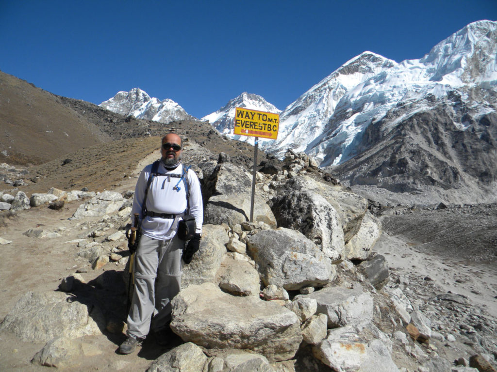
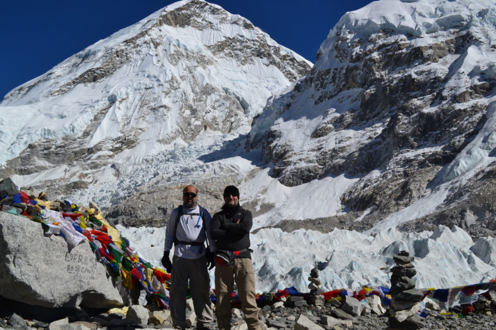
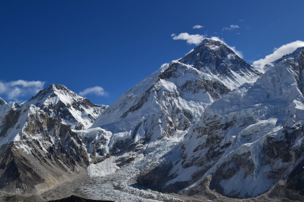
Day 10: Ascent to Kalapatar and rest at Gorak Shep 6 km (4-6 hours).
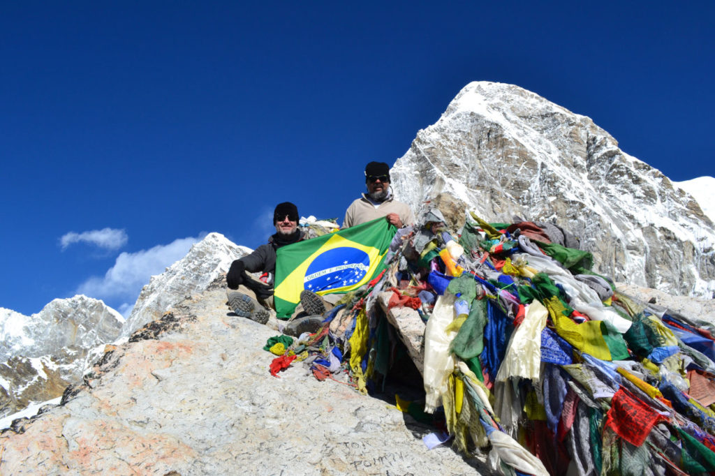
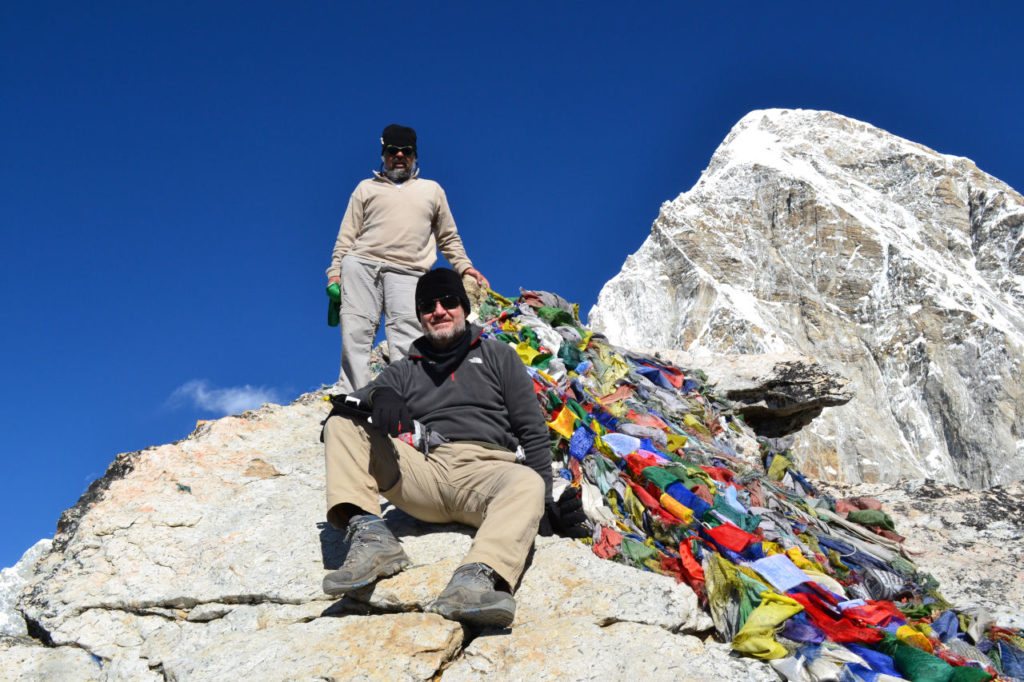
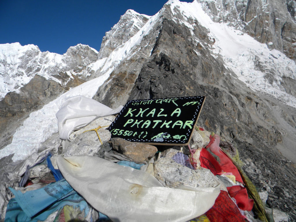
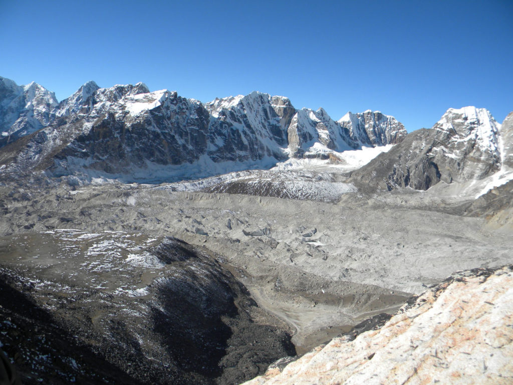
This was the coldest night here. In the morning it was interesting to see the staff breaking the ice from the pipes to try to get water. After breakfast we started the trail to the Kala Patar, it is 5550 meters, altitude record on this trek.
The view is inexplicable. It is possible to see in a single panorama the giants of the Himalayas: Pumori, Nuptse, Lhotse, Everest and Ama Dablam in the distance. The entire south face of Everest is visible showing the majesty of this mountain.
I did not want to go down, but the trekking was still only halfway. We returned to Gorak shep and rested.
Although it was another cold night, the sense of duty fulfilled, dream of Everest made it be more bearable.
Day 11: Gorak Shep to Dzong Lha - 15 km (5-7 hours).
Breakfast, last look at Everest and around to these majestic mountains and it’s time to follow the path. Now much easier, because it is down hill.
We were in Lobuche soon, we made a stop for a hot tea and continued the way. In uor way up, we come from the left side of the moraine now we will take the trail to the right. Way smooth, always descending,
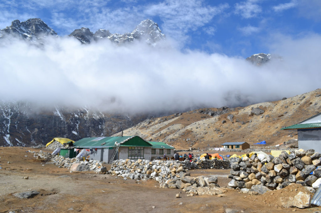
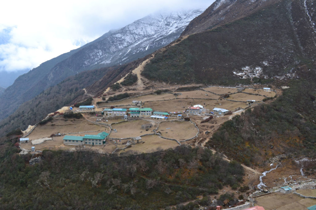
We arrived at Dzong Lha in the middle of the afternoon. Dzong Lha has only a few houses. We went to rest, because the next morning would be the most difficult day of this journey.
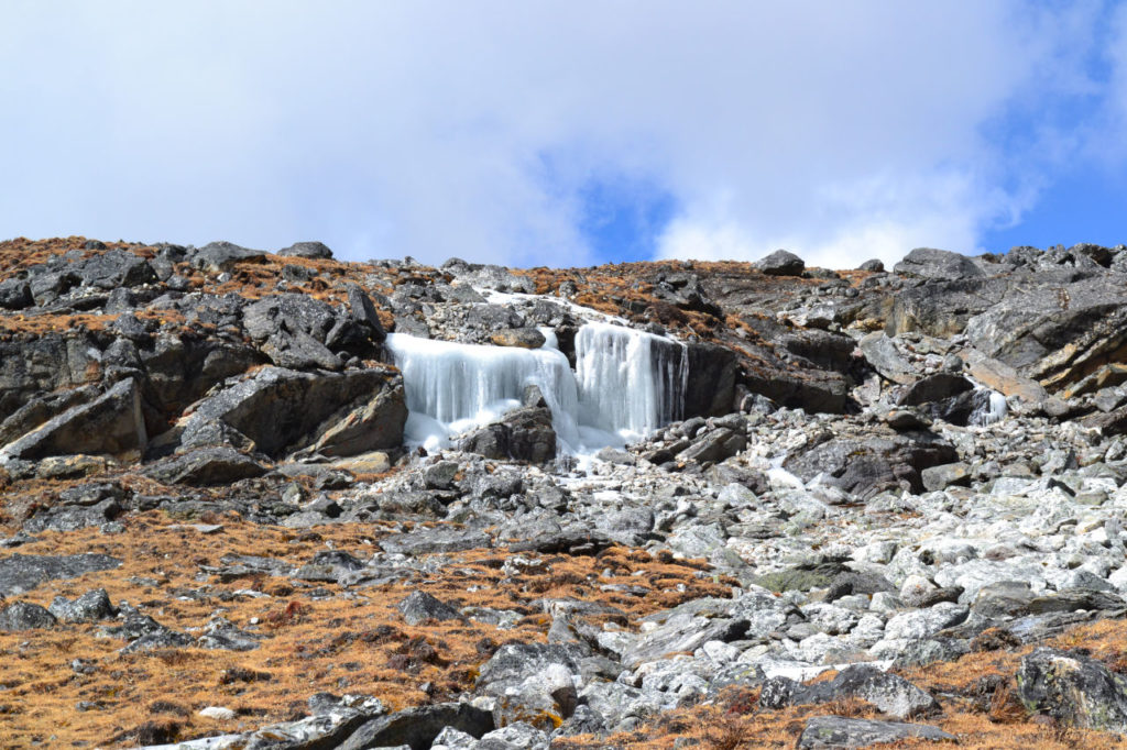
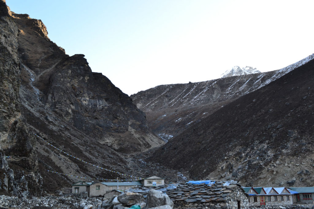
Day 12: Dzong Lha to Thangnak, lots of up and down hill - 14 km (8-9 hours).
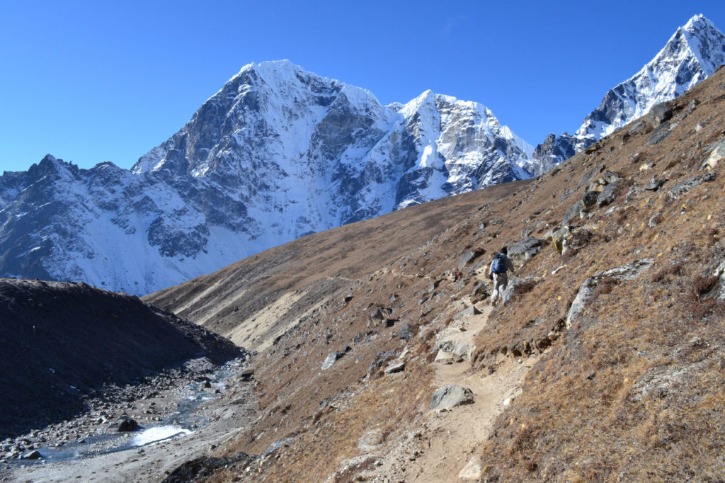
We have already started the trek very early. The sun had not yet appeared and was quite cold. The first part was a very open plateau with a very small slope. As soon as we arrived at the foot of the mountain everything changed radically. It is a very steep climb between the rocks, going from about 4800 to 5420 meters in one shot.
Chola Pass
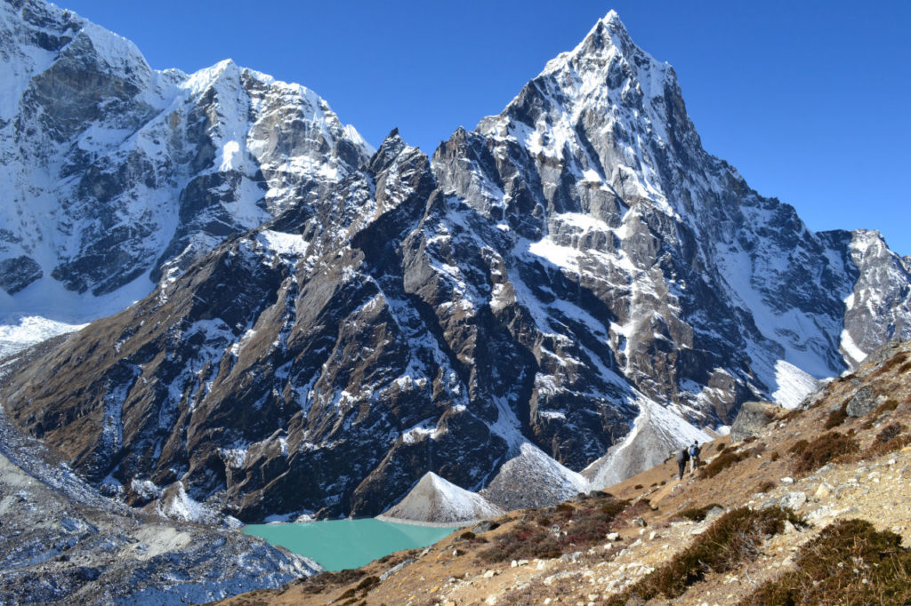
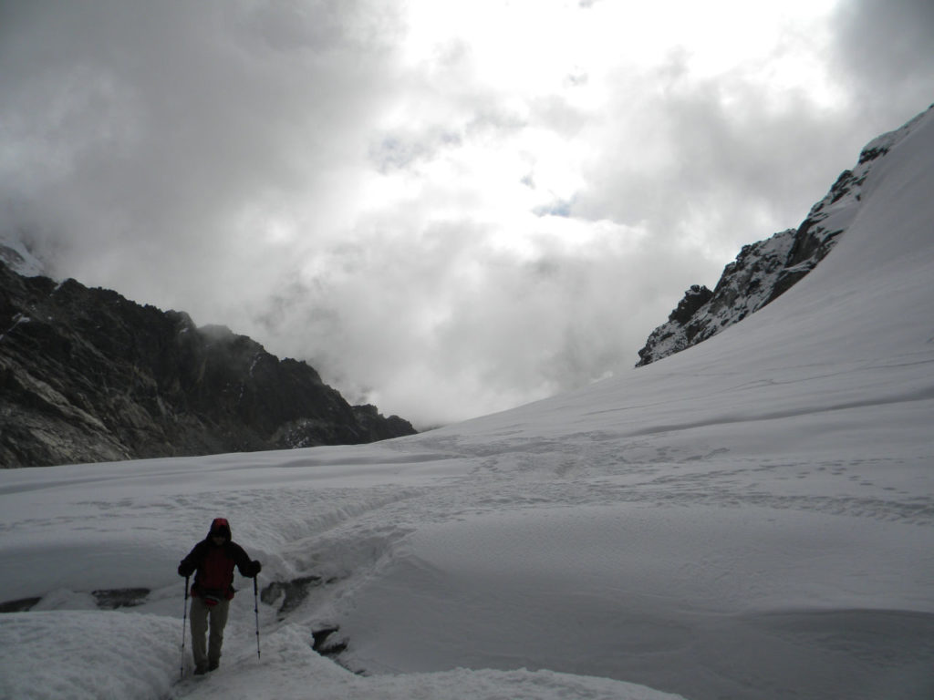
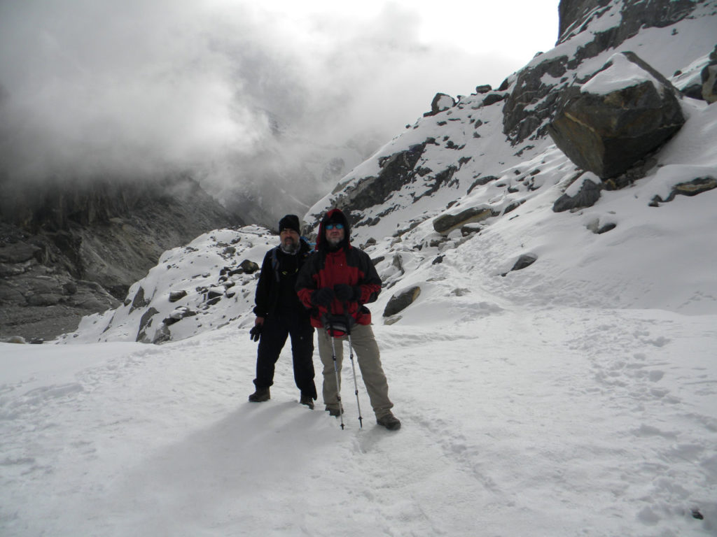
Every meter up the cold only increased and we arrived in the Chola pass with snow and around -15 degrees celsius. The entrance to the Chola pass was quite dangerous as it is a narrow path with a big hole, if you slip it would not come out alive and we were not with crampons.
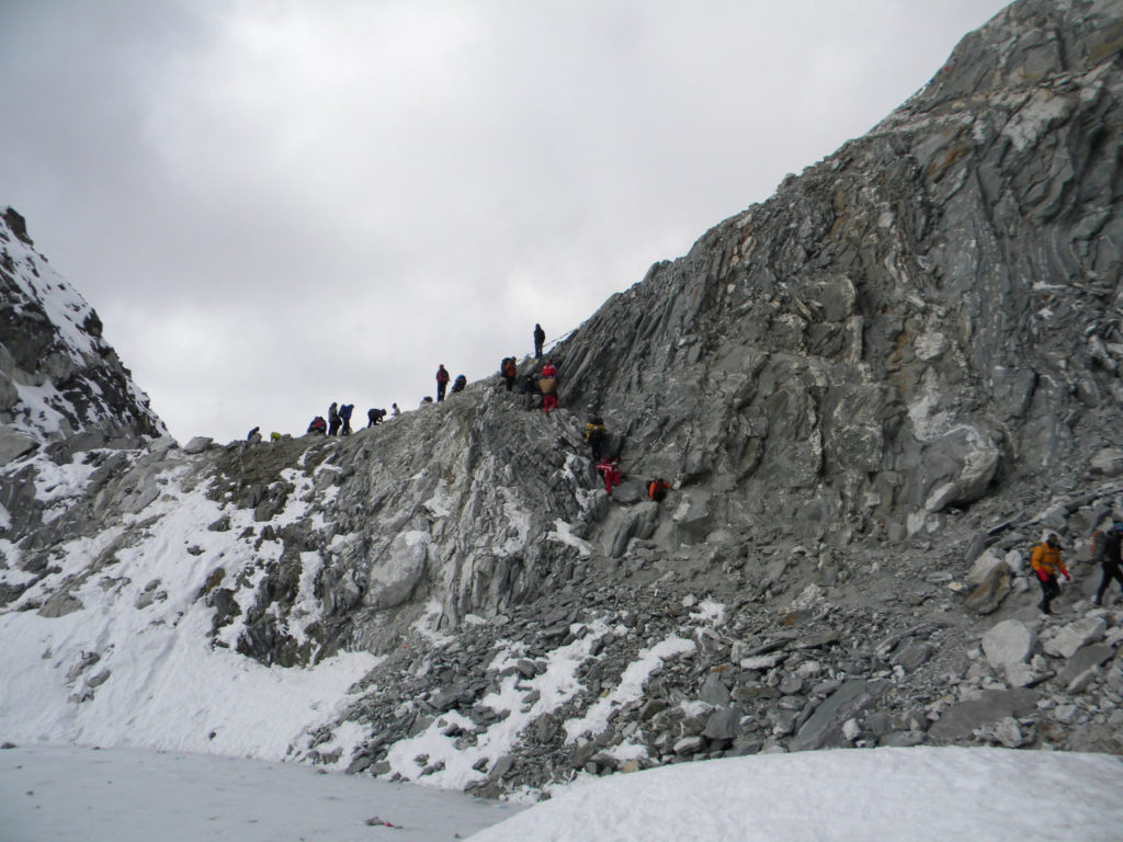
We walked carefully and everything went well. Soon we entered a beautiful glacier and without much difficulty, only the intense cold. Arriving at the end there was a very complicated wall, where we were stuck for a little time due to people’s difficulty in climbing or descending the mountain slope, but we passed quietly.
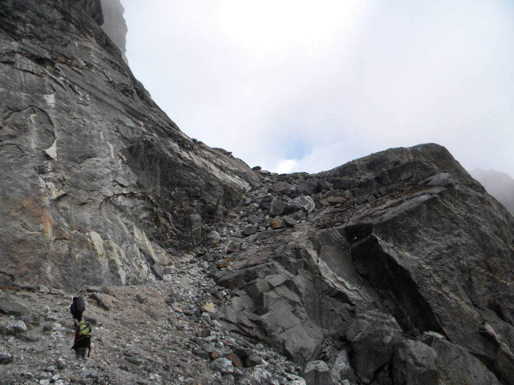
At the end of the Chola pass is one of the steepest and most dangerous descents. It is a heap of rocks that slide and do not have much to control. The descent, although it is apparently more dangerous, is much easier than the ascent, because it is two steps up and one down.
After two hours we arrived in a firm ground and after this point the descent until Thangnak was quiet.
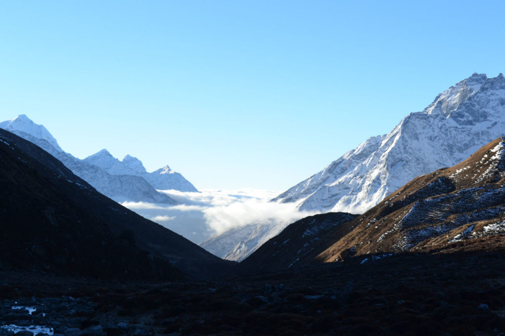
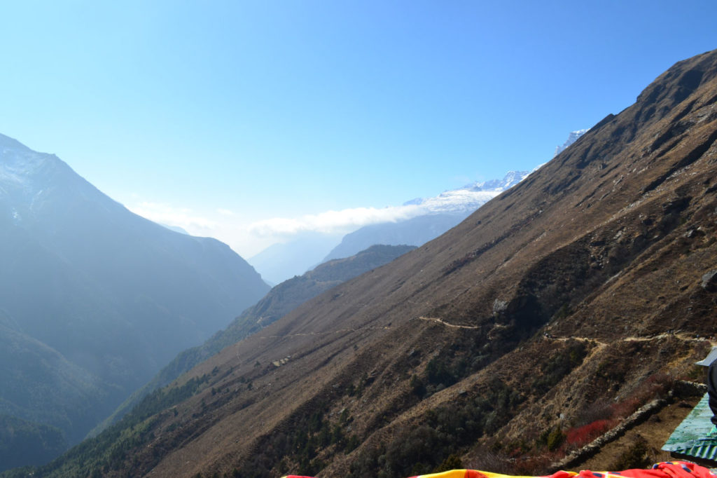
We were, from Gorak shep, knowing that the weather was changing and a view of the clouds covering the valley (see photo) made us think a lot at the beginning of the trail, where we had waited for a week without being able to fly to Lukla. Since we had the return flights already set, we could not risk being trapped, so we decided to abort the trip to Gokyo and return.
Day 13: Thangnak to Dole 12 km (5-6 hours).
Day started too cold, near -4 degrees celsius, we waited for the sun to rise and we started the trail back. We were on the other side of the mountain chain from the trail to Everest. The trail was a very gentle descent, with only a few descents and ascents in the valleys.
With the descent and already being acclimatized in altitude, we feel like superman, very strong. We stopped in Machhermo for lunch and continued to Dole. We had one of the cooler nights, it must have reached -15 degrees.
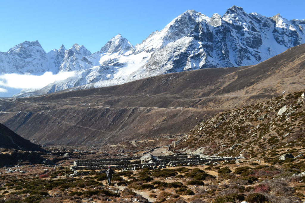
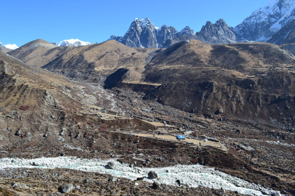
Day 14: Dole to Namche Bazaar 14 km (6-7 hours).
Each day the trail seems to get more and easier, besides being down hill we were leaving the altitude zone.
We stopped at the belvedere to see Everest and Ama Dablam and continued to Namche.
A little before we arrived at Namche Bazzar we stopped for see Everest for the last time.
The night we took our first bath in 16 days and a Chilean wine to commemorate what initially seemed to be a disaster and became the most fascinating trail we had ever made. From the beginning of our walk in Lukla until our return everything went very well, we had clean days, totally blue sky and breathtaking scenery.
Day 15: Namche Bazaar to Lukla and take the flight to Kathmandu - 21 km (7-8 hours).
In terms of distance, the walk was the longest, but as we left the hight altitude and the climbs back, the only concern was the bad news of the arrival of bad weather.
We arrived in Lukla late afternoon and went straight to the airport and, after many comings and goings, we were able to get flight tickets there in 1 hour. We arrived in Kathmandu, took a really rejuvenating shower, put on clean clothes and went to celebrate in a restaurant. The first steak in 20 days.
Day 16: Kathmandu
Improvement in climate and our main goal achieved we had the time to get to know Kathmandu and its main attractions.
All of them were hit by the earthquake of 2015 to a greater or lesser degree and so are recovering. The Nepalese government, even with the inherent difficulties of one of the poorest countries in the world is working, but everything walks slowly.
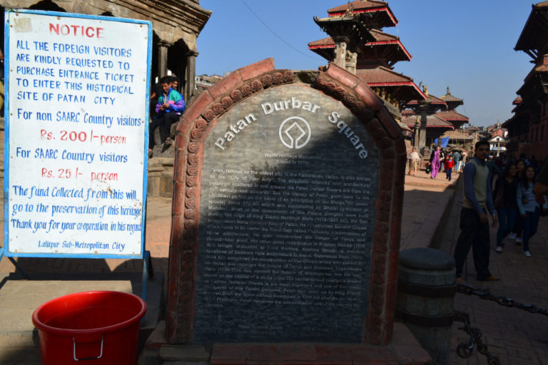
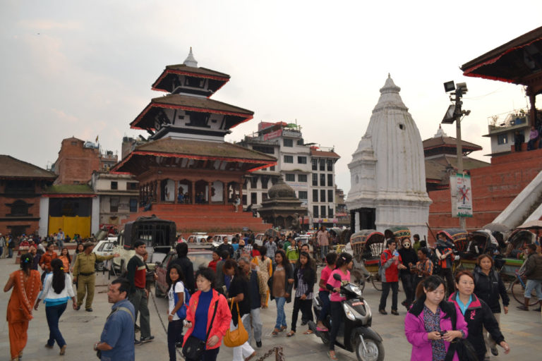
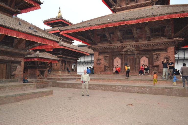
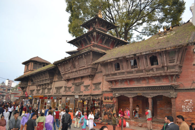
Durbar Square: Main attraction of the old city gathers temples and 12th century buildings.
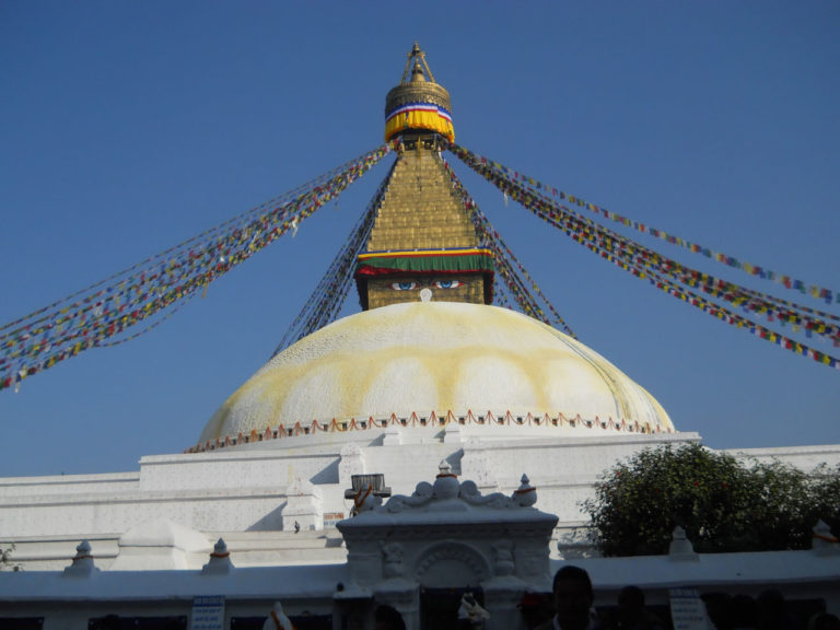
Boudhanath Stupa: It is one of the holiest places of the Buddhist, besides being the biggest stupa of Nepal.Bairro
Thamel: It is in the oldest part of the city and is the right of tourists. Here you will find everything you need for your trip to Nepal, from hotels, restaurants, equipment, clothes, antique shops and all kinds of souvenirs.
Warning: In Nepal everything is copy (false) and in Thamel it is the center, so you you will be mistaken into everything you do, take great care.
Swayambhunath Temple: Known as the Temple of the Apes. Installed on top of a hill where a white stupa with Buddha eyes dominates the buildings.
Day 17 and 18: Rest, walk around the city and time to leave.
Jorge returned to Brazil and I went to India.
