Hiking one of the most beautiful trails in the world, Quebrada Santa Cruz, with ascent to Nevado Pisco (5752 m).
After a few days of rest in Huaraz ascent to Vallunaraju (5686 m).
A little of history
For those who do not know. I love to do trails and I got to know high mountains, when I did the basic mountaineering course at CAP – Alpine Paulista Club and with the people I met there. I discovered a new world previously unknown. In 2009, I ventured to the highest mountain outside the Himalayas (Aconcagua 6962 m). I’ll tell you about it on another blog. In 2010, my friend, Alexandro and I debuted in the expedition mode going to Huaraz, Peru
Huaraz
Huaraz is considered the South American capital of climbing and high mountain. Starting point to explorer trails such as Lagoon 69, Llanganuco Lakes and Laguna Churup, which is inside the National Park of Huascarán. The white mountain range is a sample of the Himalayas with incredible natural landscapes, trekkings and mountains. It is part of the Andes mountain range and Unesco Natural Heritage since 1985. The city has approximately 130,000 inhabitants and concentrates the hotels, restaurants and the best tourist infrastructure of the region.
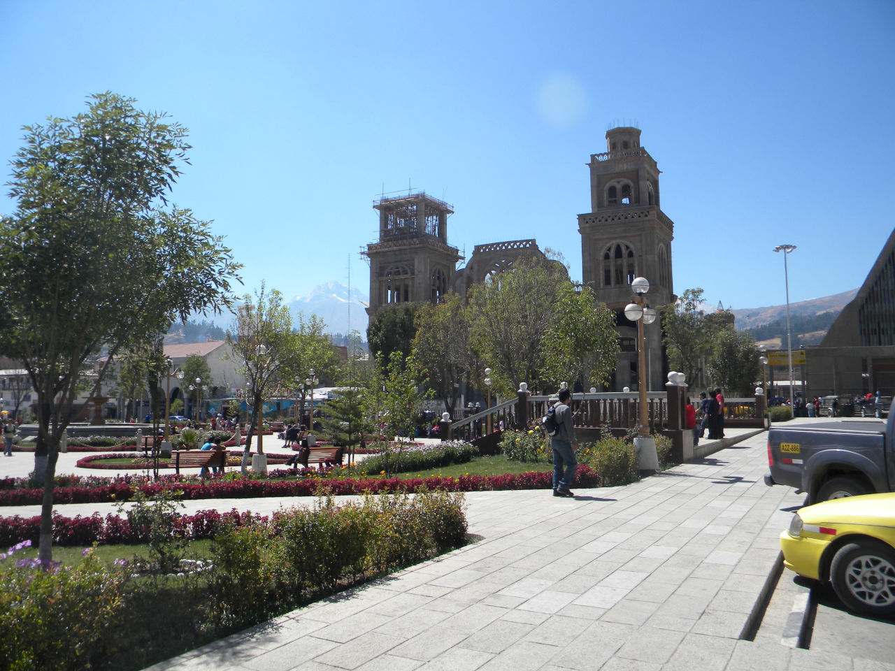
Plaza de las Armas
Huaraz
Huaraz
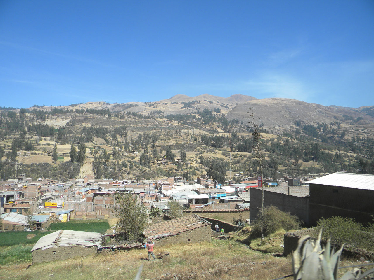
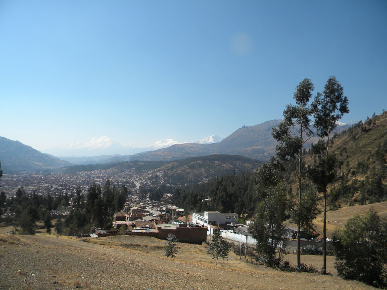
Huaraz view from point view
Start point to Pitec.
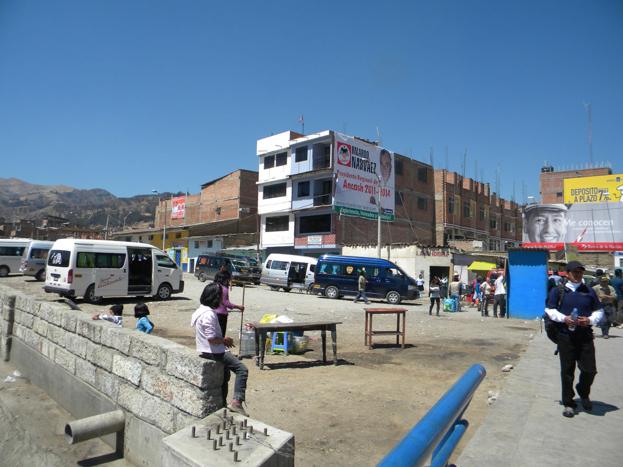
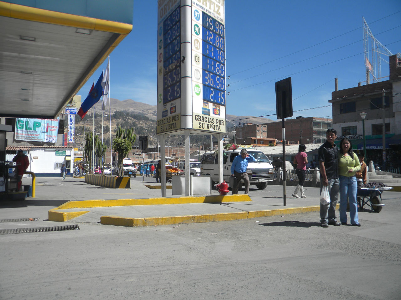
Gas station closed to central market.
Huaraz people.
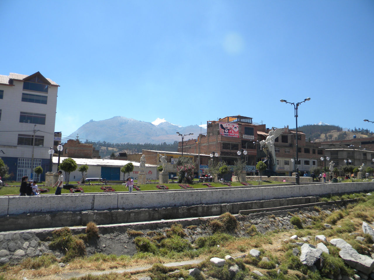
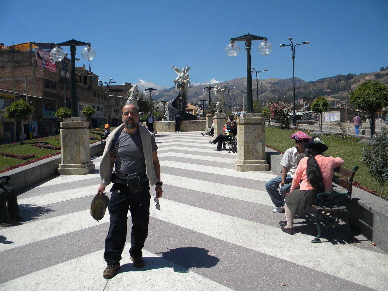
El Angelito park.
El Angelito park
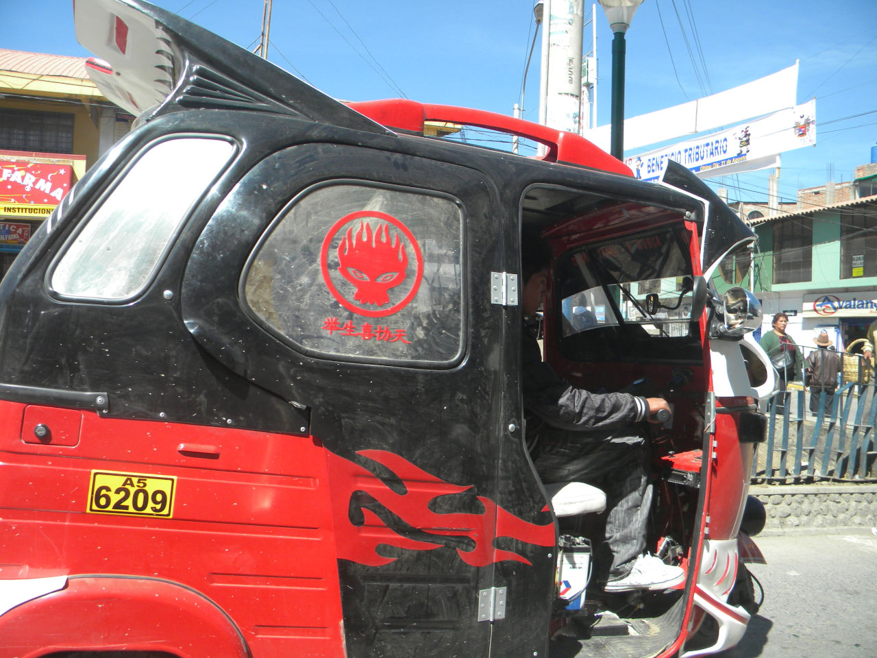
Local tranport
When to go
The best time to visit Huaraz and the Codilheira Blanca is between April and September, when it is cold and without rain. The peak between June and July. I prefer to go in August, where the weather is still very good, few people and the cost is about 30% less.
HOW TO GET TO THERE.
The starting point is the Peru´s capital, Lima, then just take a bus. It’s approximately 400 KM, 8 hours, US$ 28.00, we went through Cruz del Sur. We arrived at 7:00 am and went to the hostel. Huaraz is at 3,100 meters of altitude so we rest in the moorning and in the afternoon we were walking through the city. We were walking around the city and due to altitude it was a little difficult. We visited Plaza de las Armas, city cathedral, local market, etc
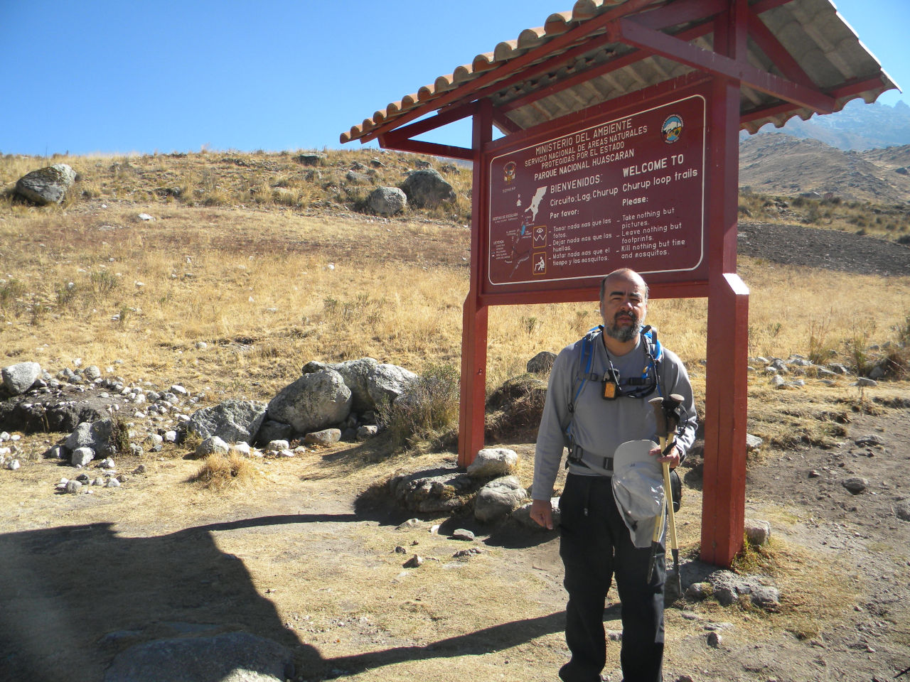
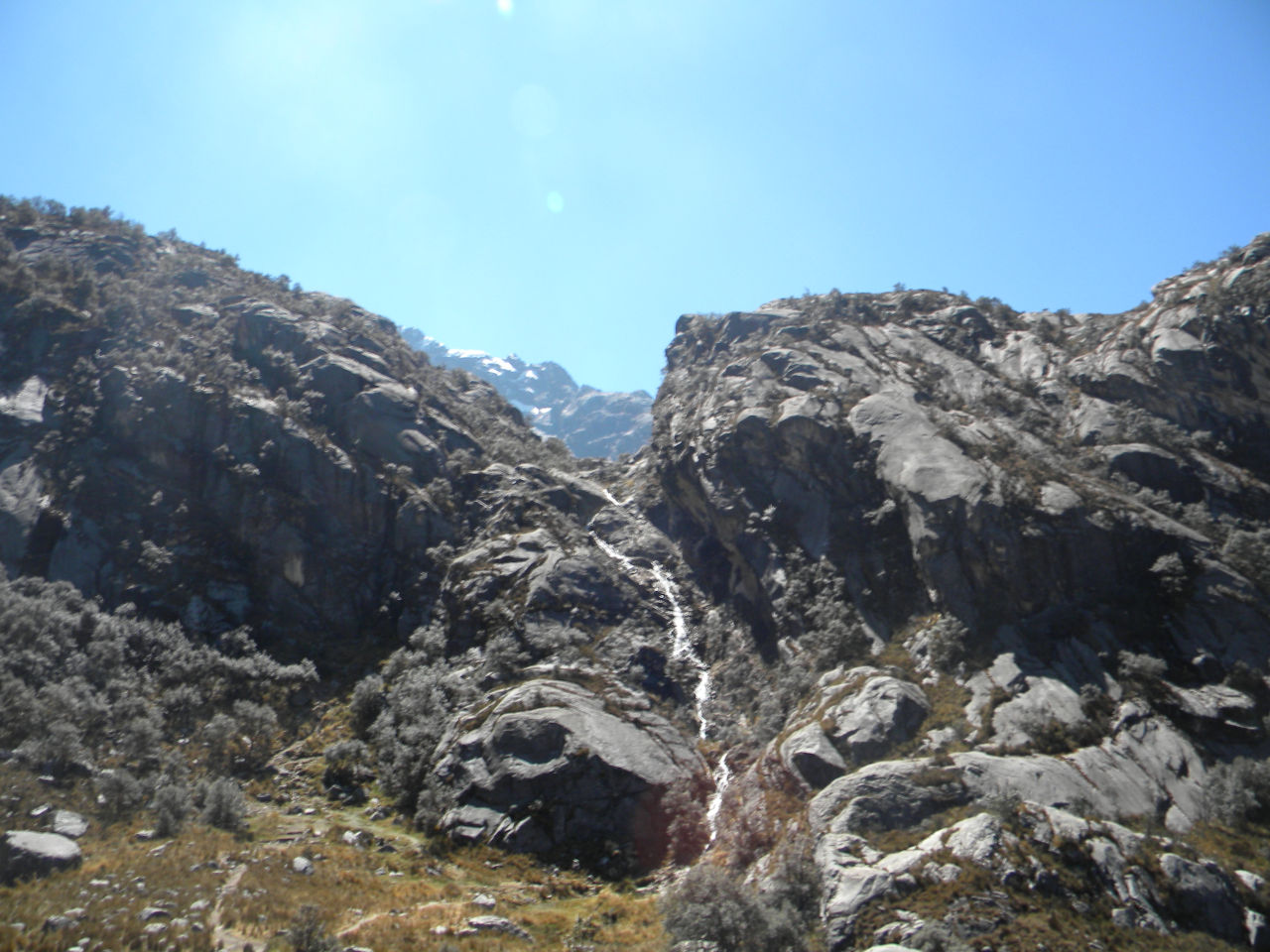
The most famous walk to acclimate is to go to Laguna Churup.
We take a van, closed to central market, next to a gas station, the line is to Llupa, but if you have several tourists and pay a little more they go to Pitec. Pitec is the entrance of the trail. They walking is more or less 3 hours up hill and the most difficult is the altitude. The lagoon is 4350 meters. On the way back we walked to the village to get the van back to Huaraz.
Trail start point to Laguna Churup.
Alessandro on his way up.
Cross trail to Churup mountain.
trail to Laguna Churup
Lat step to Laguna Churup
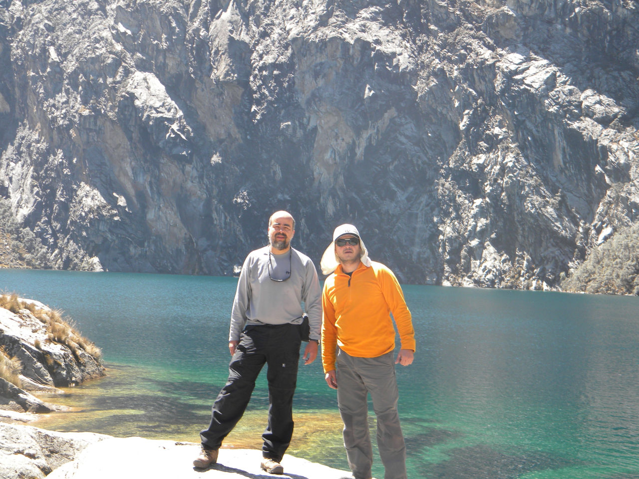
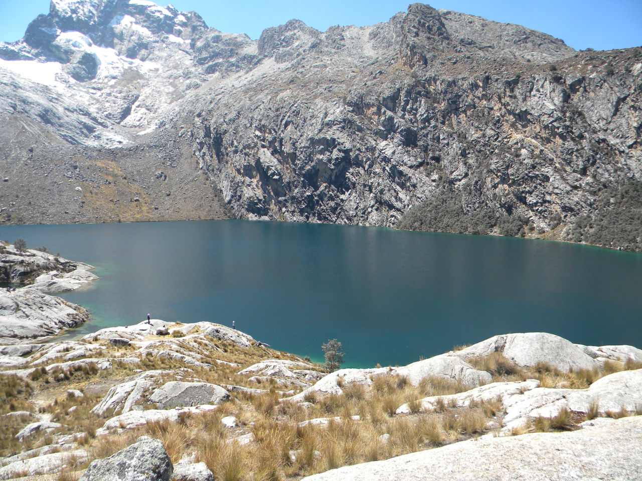
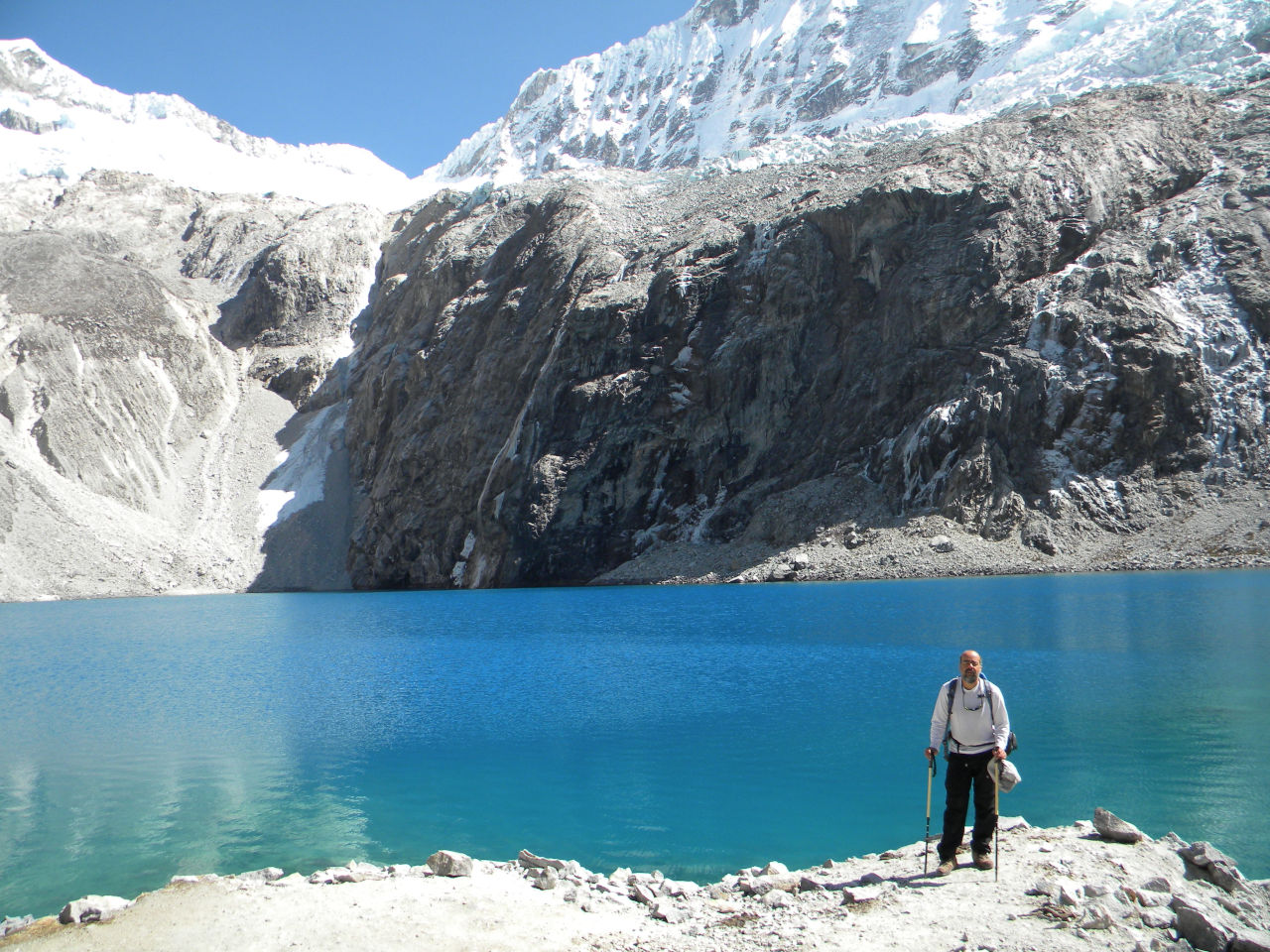
Laguna Churup arrival
Eu and Alessandro at Laguna Churup
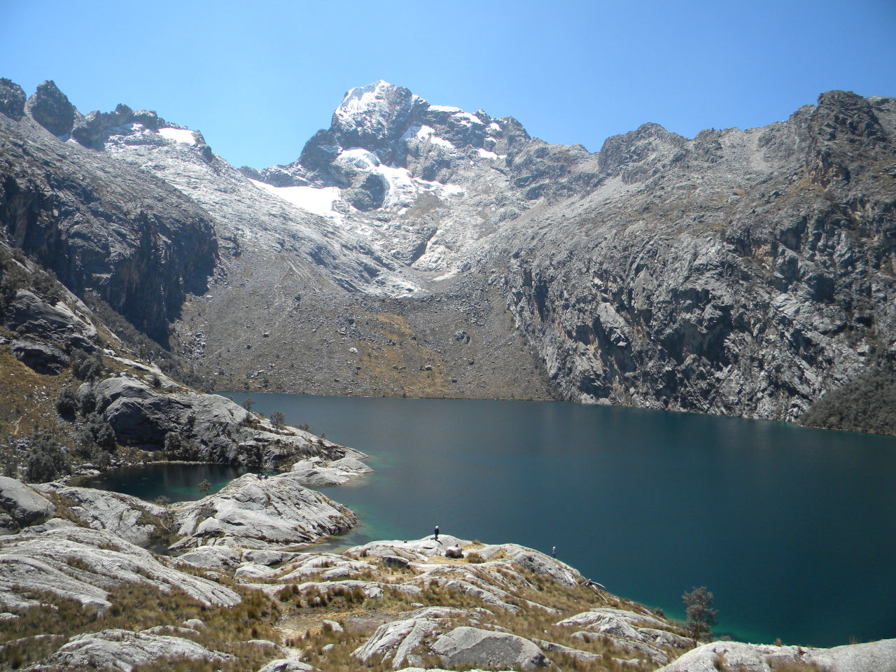
Laguna view
Laguna view
way back
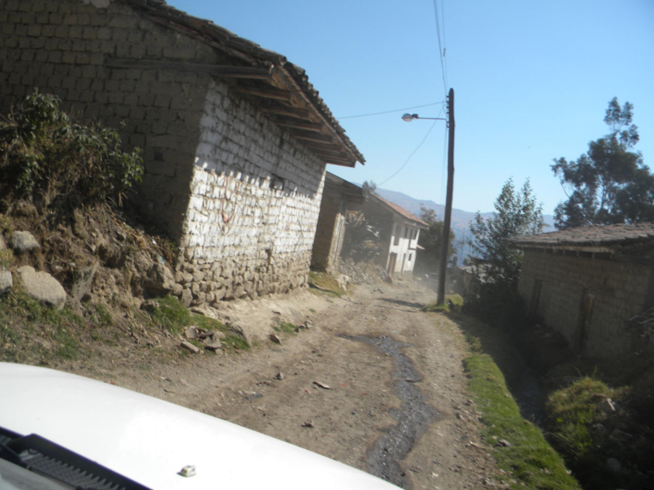
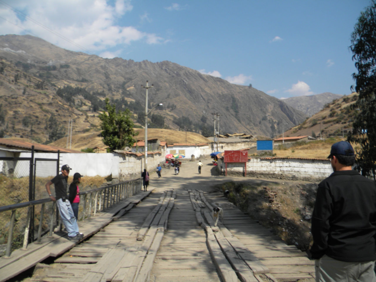
Llupa village on way back to Huaraz.
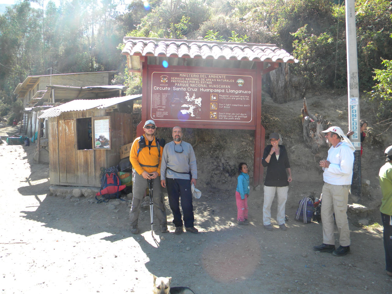
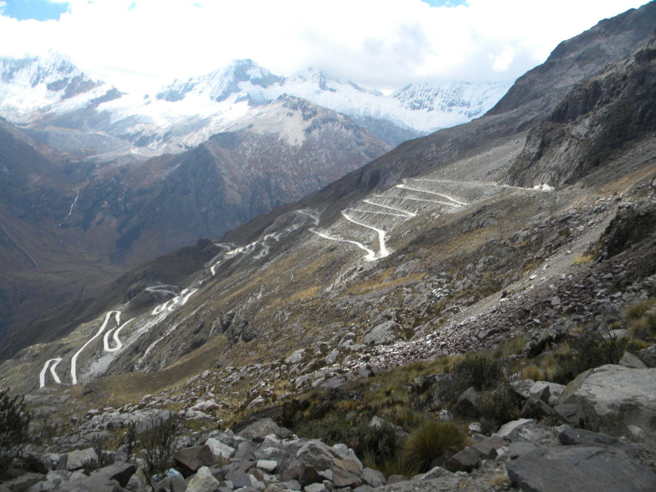
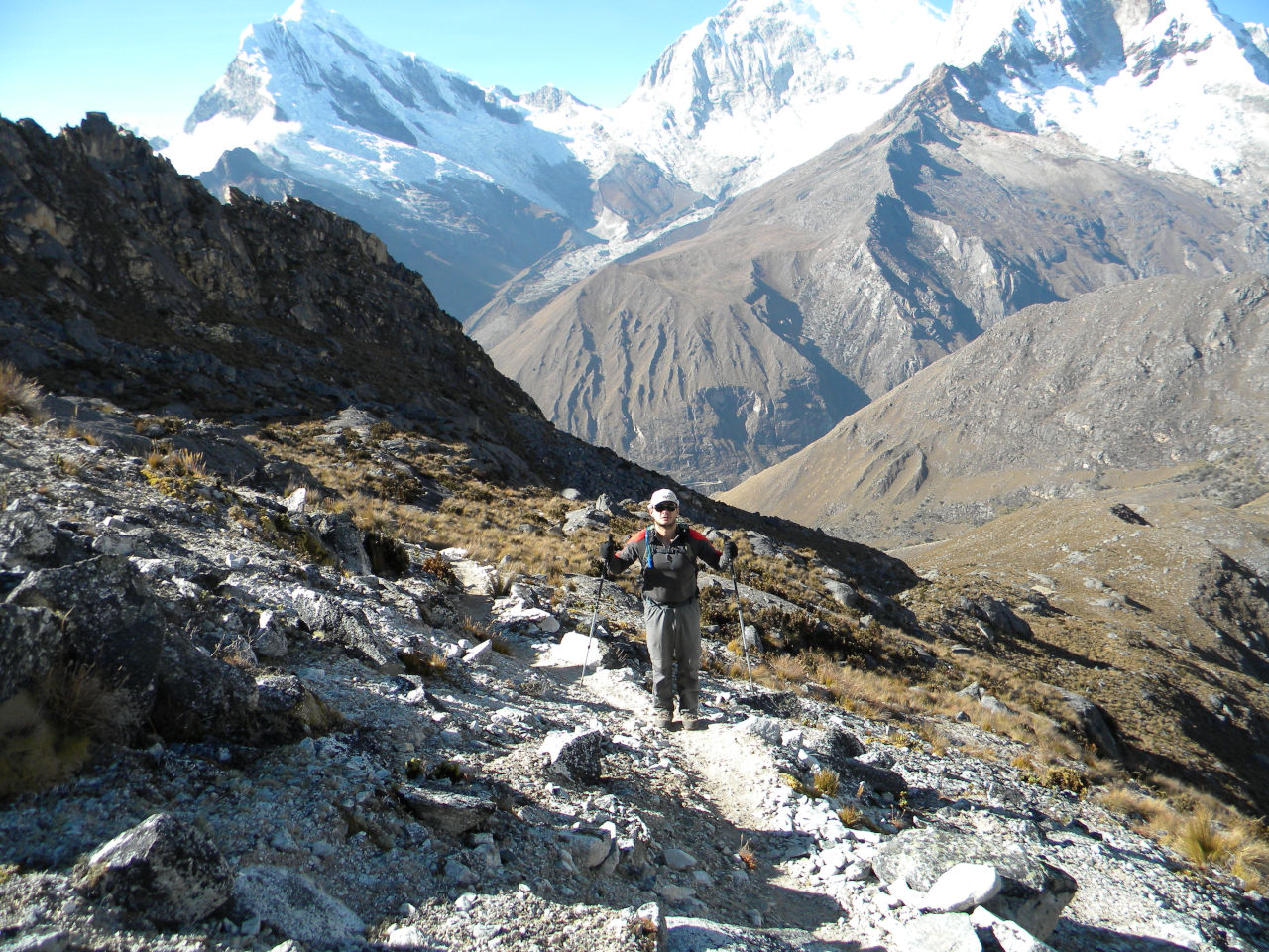
Trekking Quebrada Santa Cruz to Llanganuco
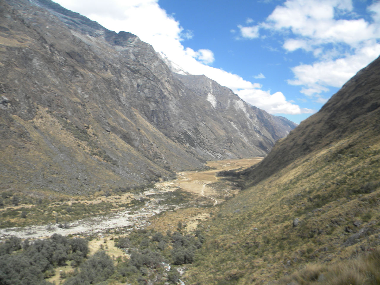
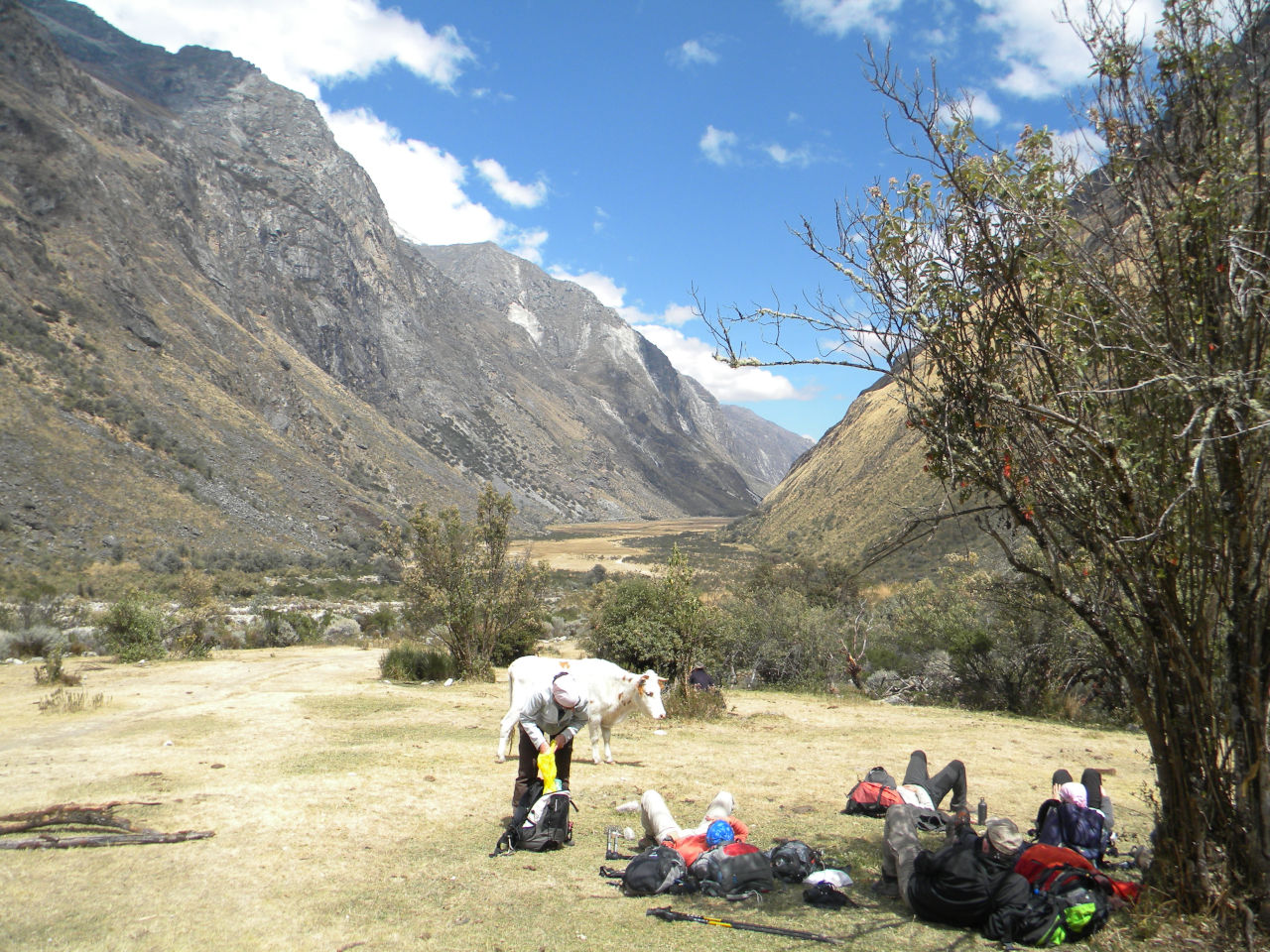
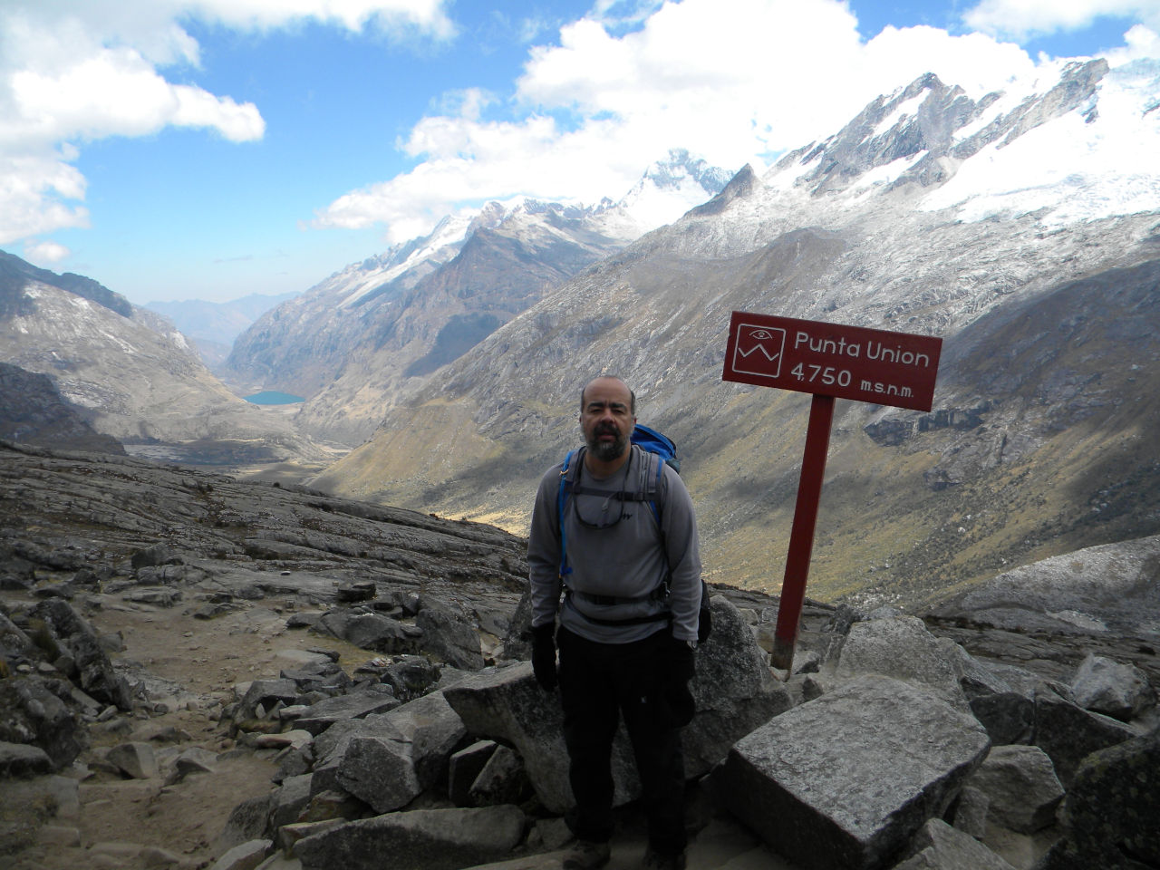
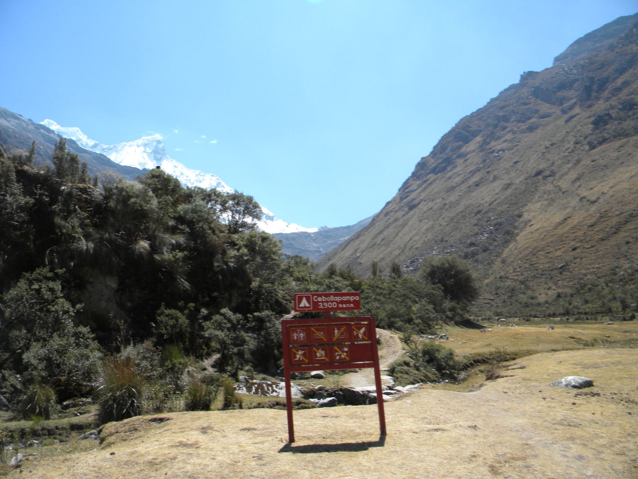
This trekking is on of the most beautiful in the world, and certainly is one of the 3 most beautiful in South America. It is approximately 62 km starting at Cashapampa (35 km north of Caraz). The trail follows Quebrada Santa Cruz, ascends to the camp of Llamacorral. If you have legs you can take a detour to Alpamayo base camp, it is worth. Returning to the main trail and continuing to Taullipamapa then to Punta Unión step (4,750 meters) which is the highest part of this trail. We crossed to Quebrada Huaripampa, arriving to Vaqueria. From the vaqueria most take a transport to Huaraz but we stop on the way in Cebollapampa where it is the beginning of Nevado Piso trail.
See this BBC travel article about Santa Cruz trail here
Me and Alessandro in trail start.
We found more 3 friends
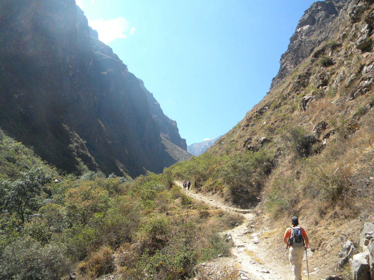
initial way up
First camp
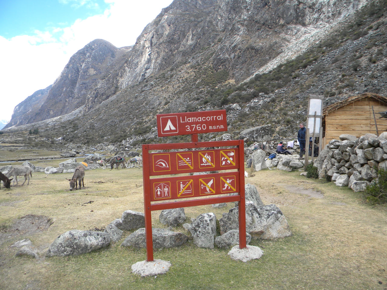
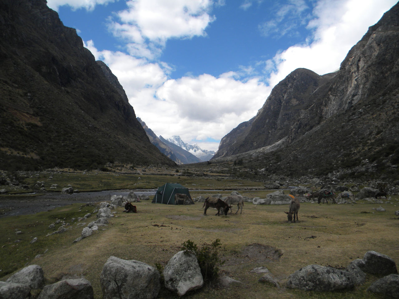
Llamacorral camp
lagun on the trail
We have already walked much. Now is detour to Alpamayo base camp.
Rest before leaving for the Alpamayo trail.
Rest before leaving for the Alpamayo trail.
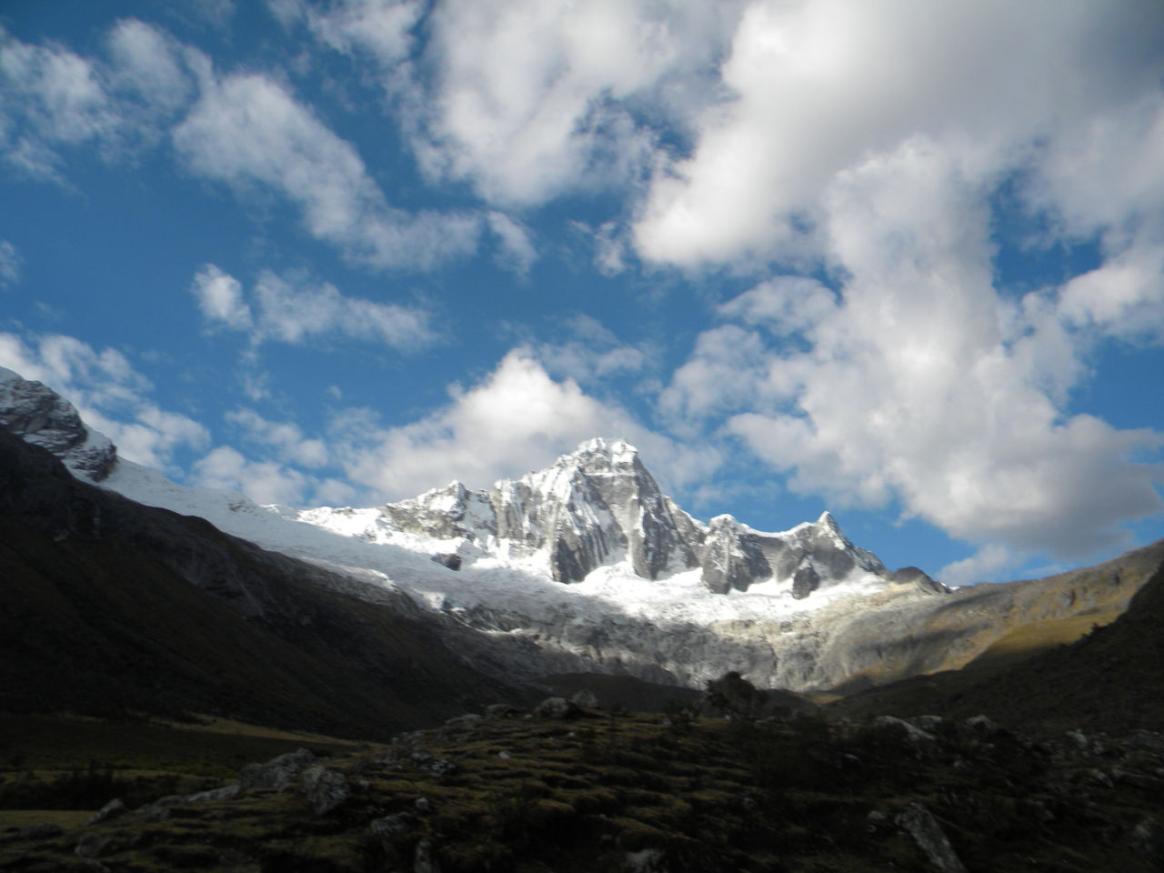
Alpamayo to the left.
arriving in Alpamayo glacier.
Artesonraju mountain – It is the symbol mountain of Paramount Pictures
Artesonraju summit zoom.
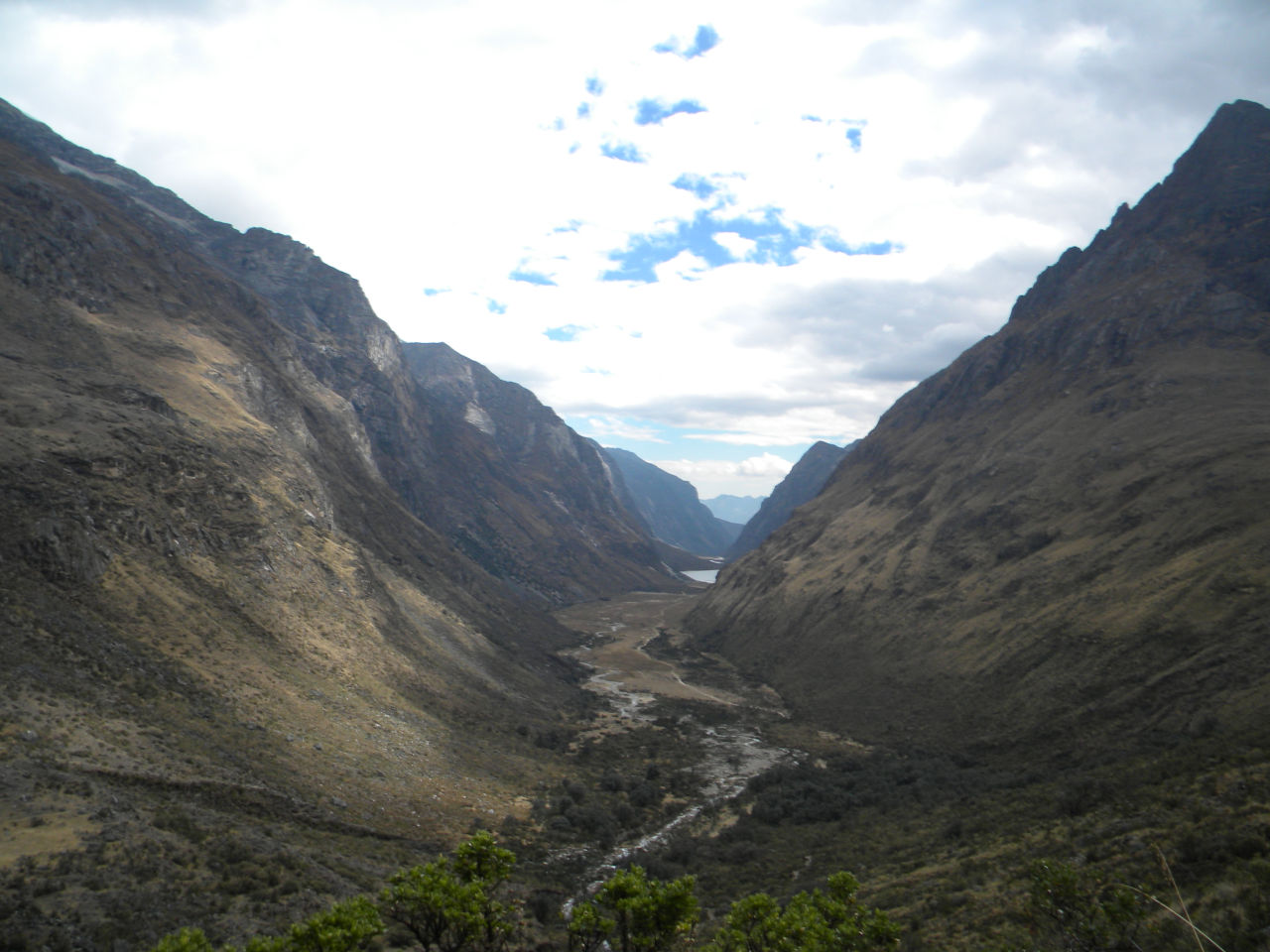
Taullipamapa camp view
Mountain view arround Taullipamapa camp area.
Vision of what we had already walked
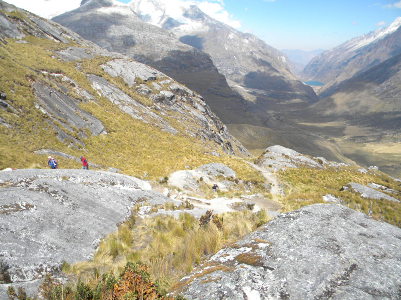
Way to Passo Union
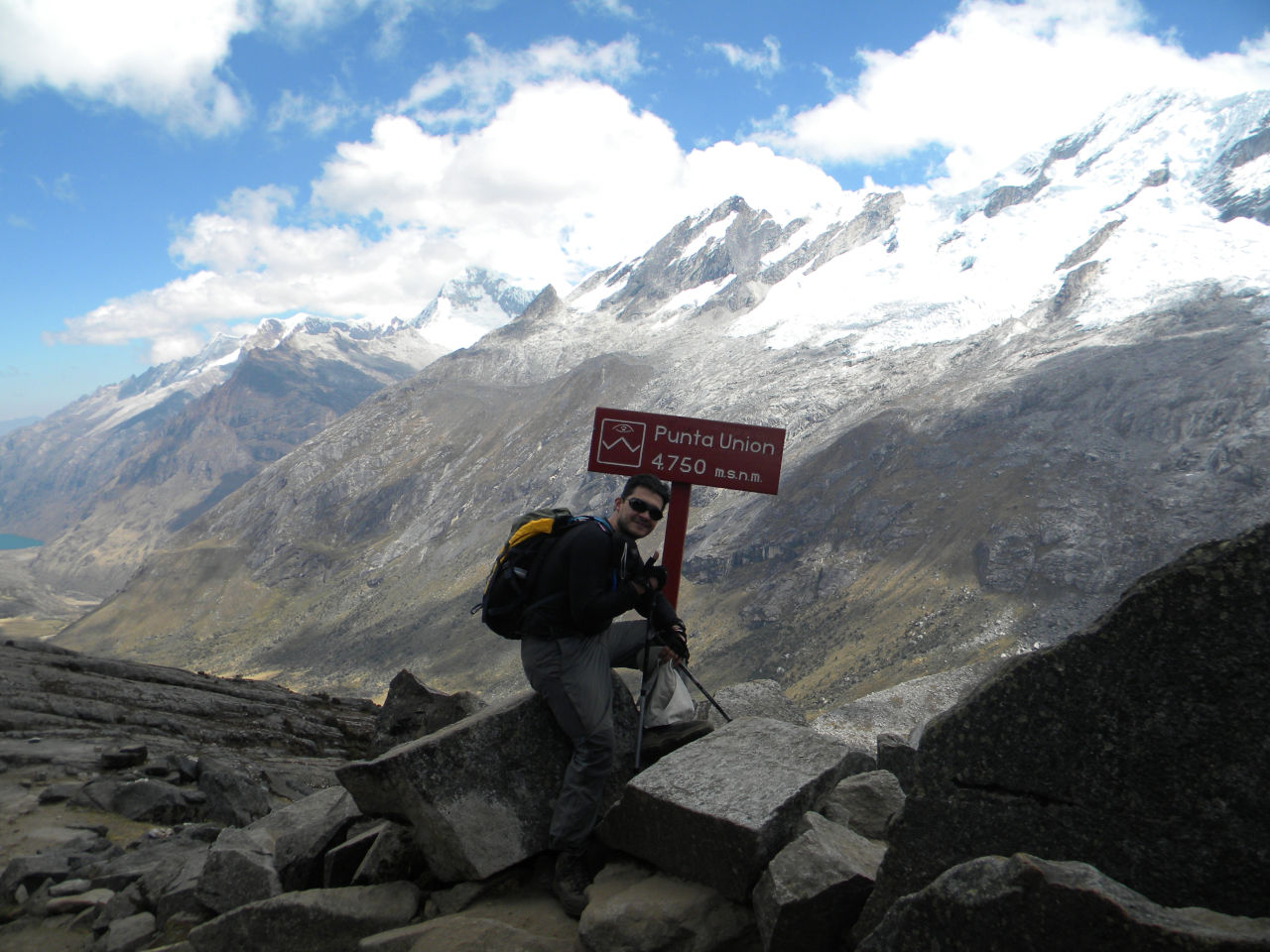
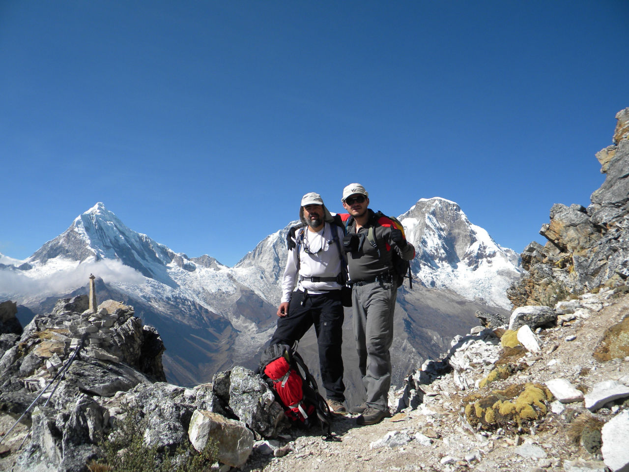
Difficult but we made it. 4750 m
Difficult but we made it. 4750 m
Official trail end
Official trail end
Way to Vaqueria.
Vaqueria. Waiting transportation to Cebollapampa
Road to Cebollapampa
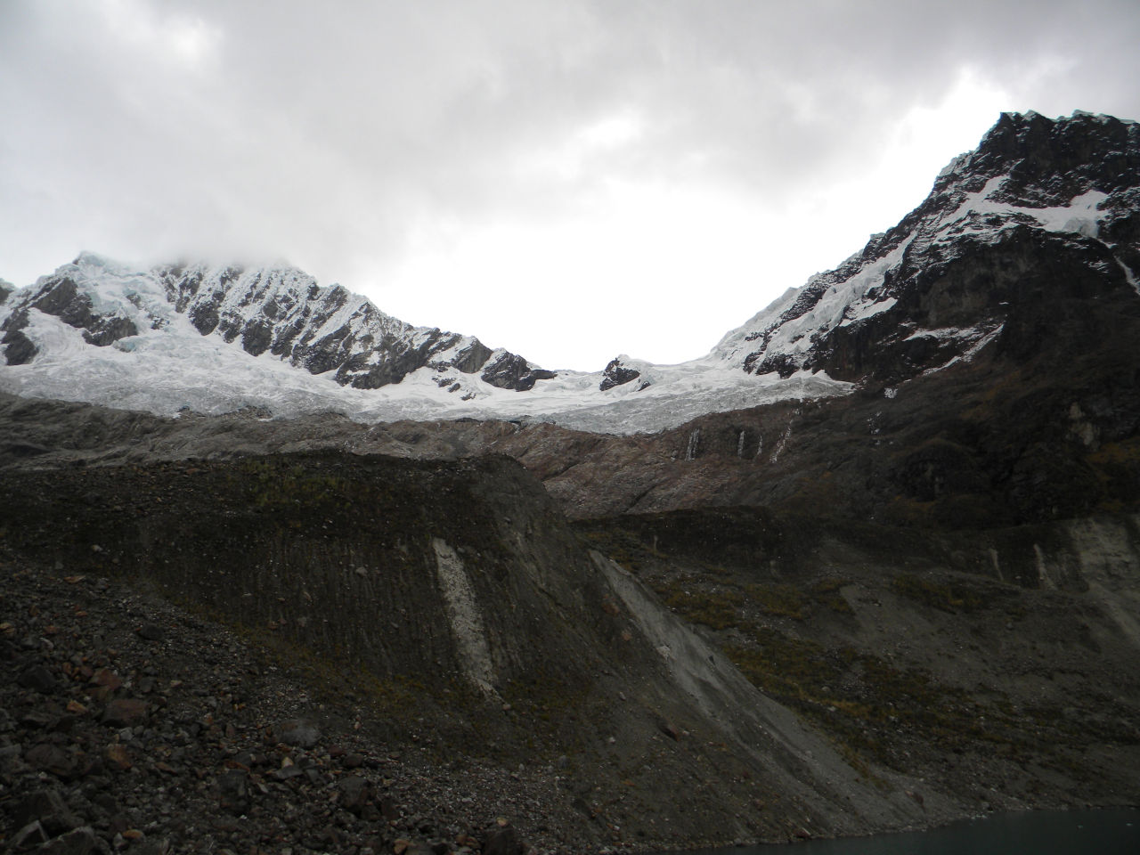
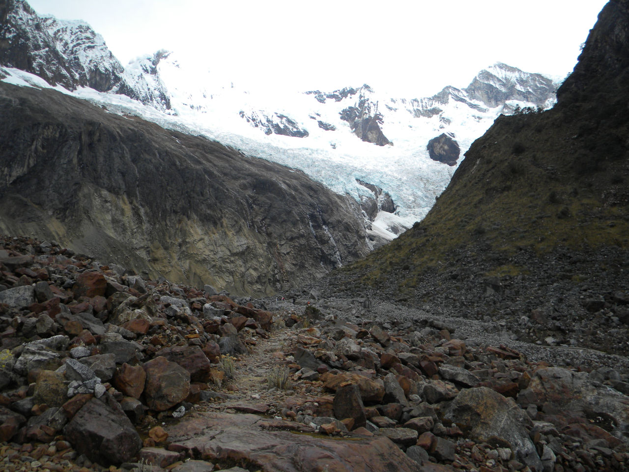
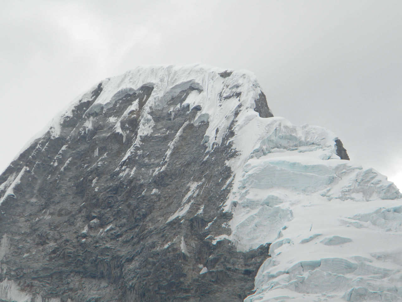
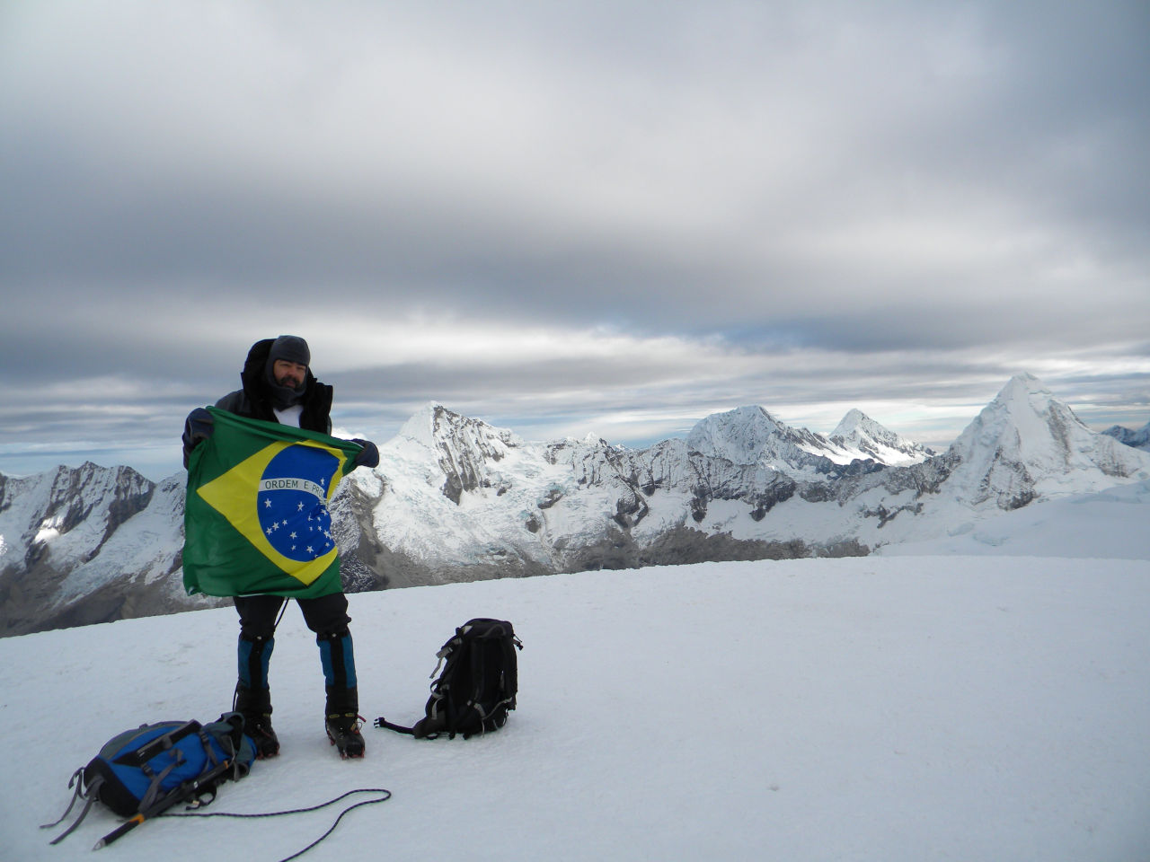
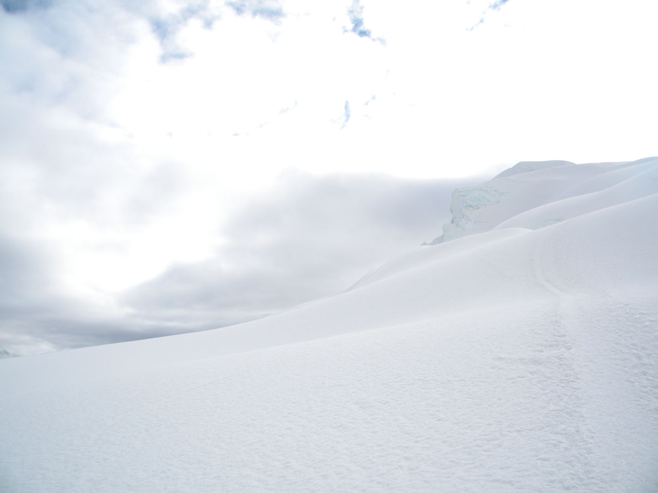
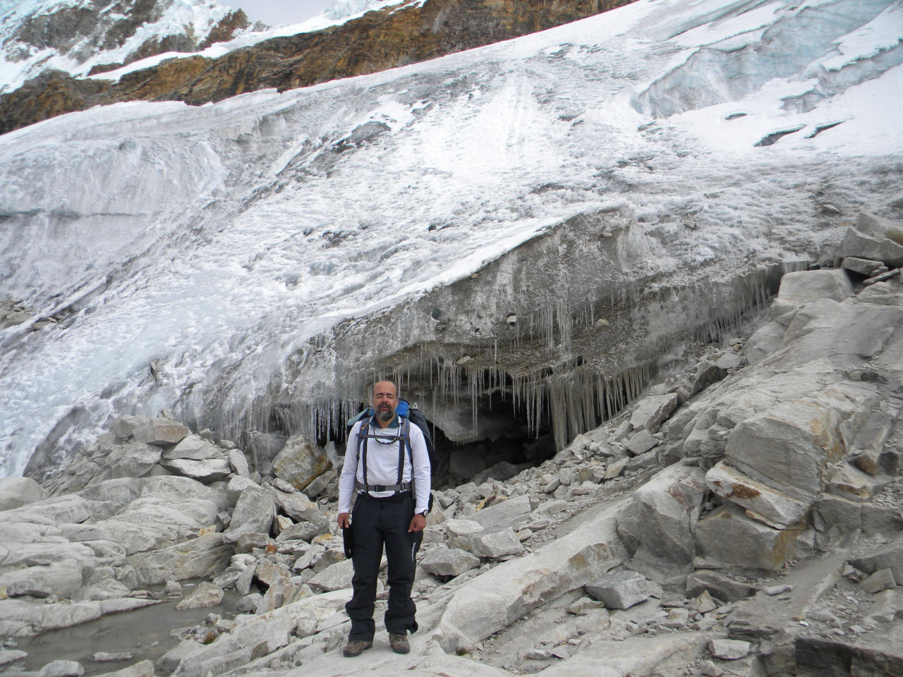
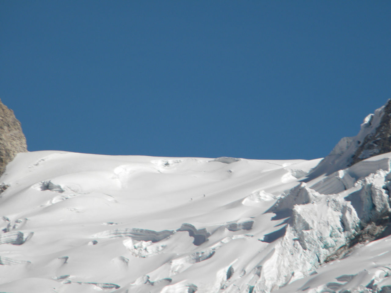
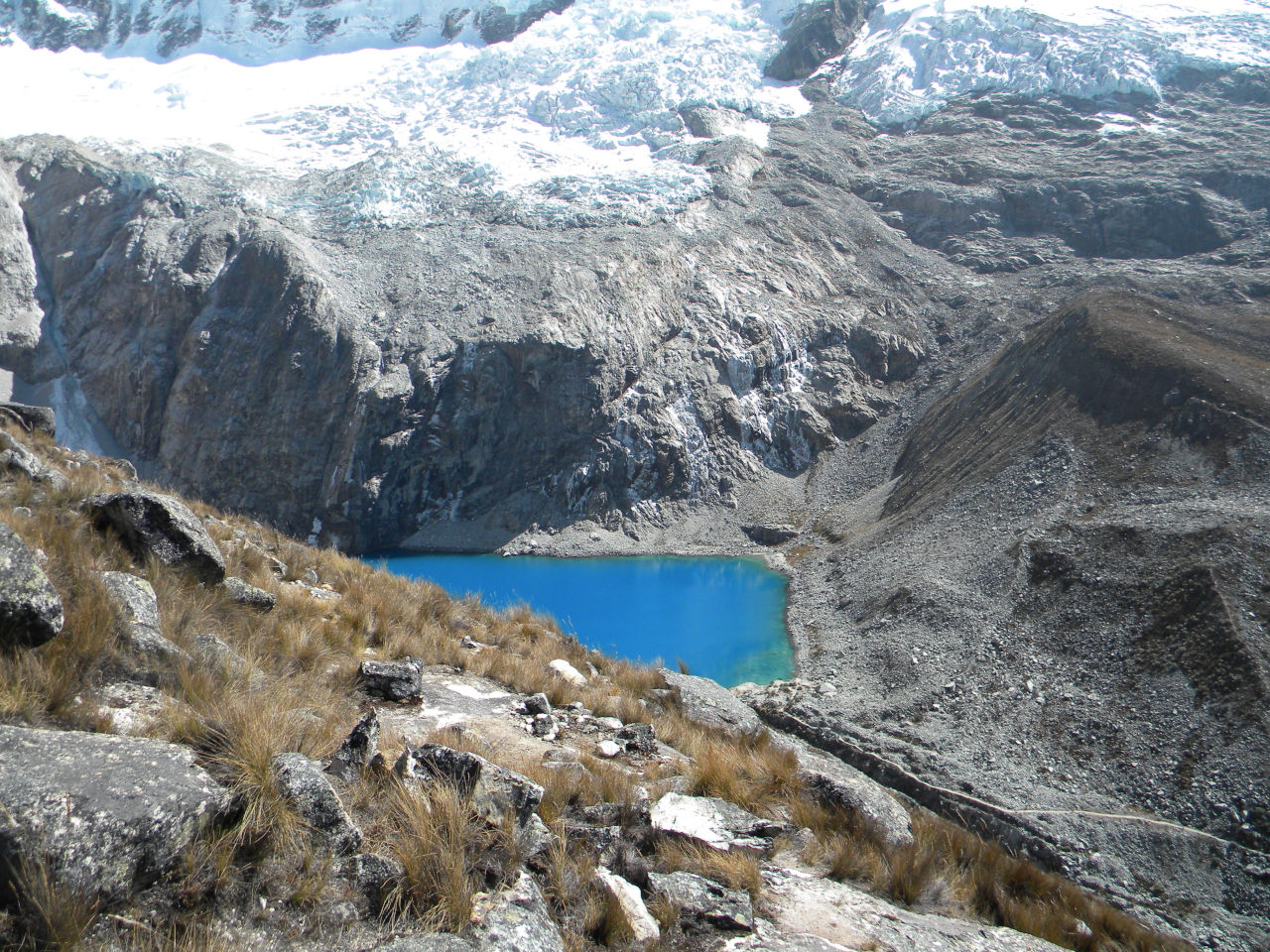
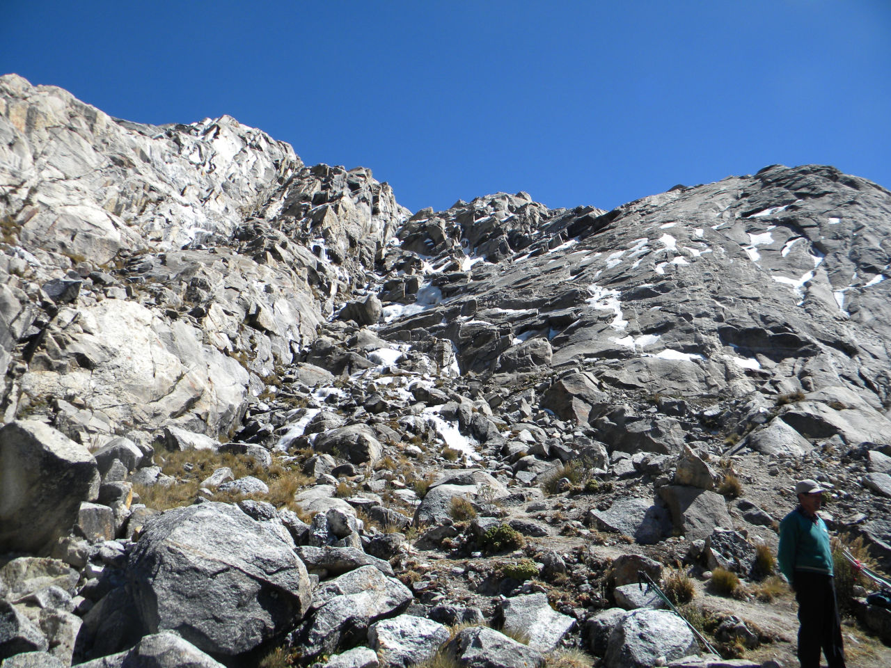
Climbing the mountain Pisco.
The beginning of the trail is in Cebollapampa, where we go to the base camp of Nevado Pisco, which is 4,700 meters high. Due to poor acclimatization Alessandro caould not tried the attempt to reach the summit. Me and my guide set off for the summit at 1:00 am, climbed the first step and descended into a large moraine and at about 4:00 we reached the beginning of the ice. For those who do not know. A moraine is material left behind by a moving glacier. This material is usually soil and rock. Just as rivers carry all sorts of debris and sediment, the glaciers carry all kinds of dirt and boulders that accumulate. This makes it very difficult to reach the glacier. The climb is well pulled except for a few moments, it’s nothing technical. We reached the summit before sunrise. We stayed until 8:00 and started the descent arriving at the base camp before noon. The next day we took the back trail that passes in Laguna 69 (4,650metros) to cebolhapampa and we took a car to Huraz.
trail start at Cebollapampa
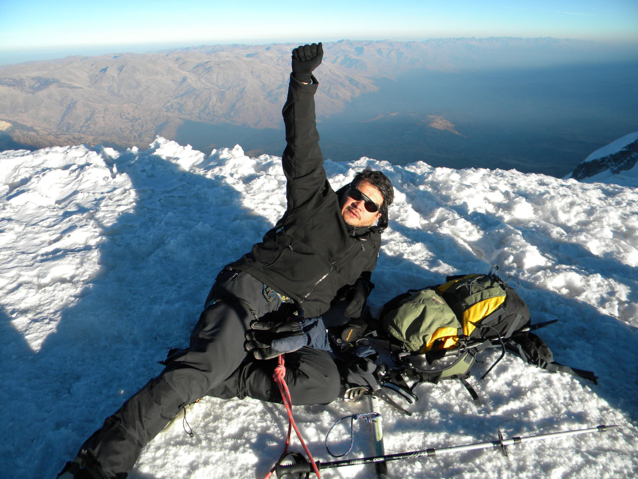
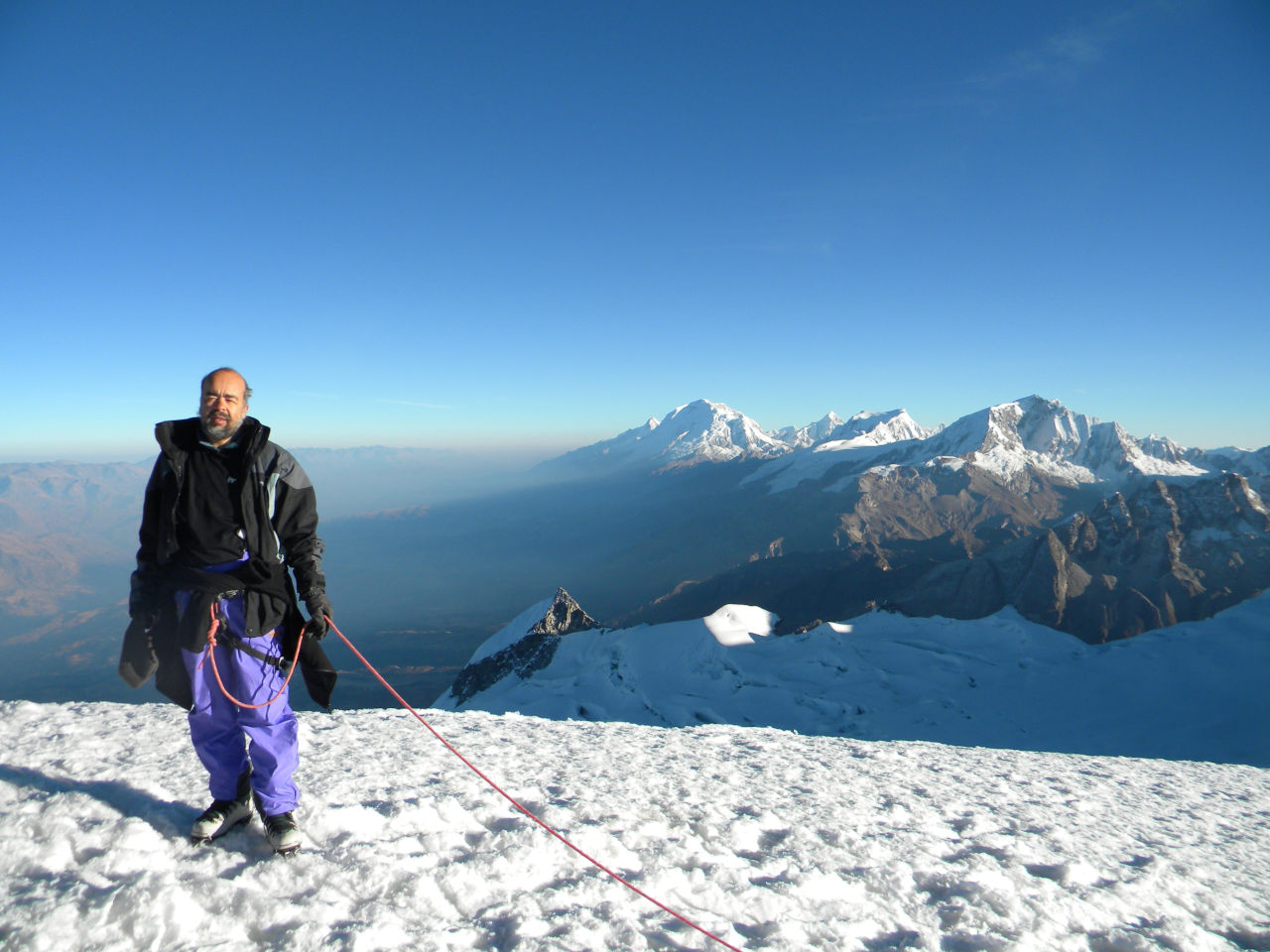
Nevado Pisco
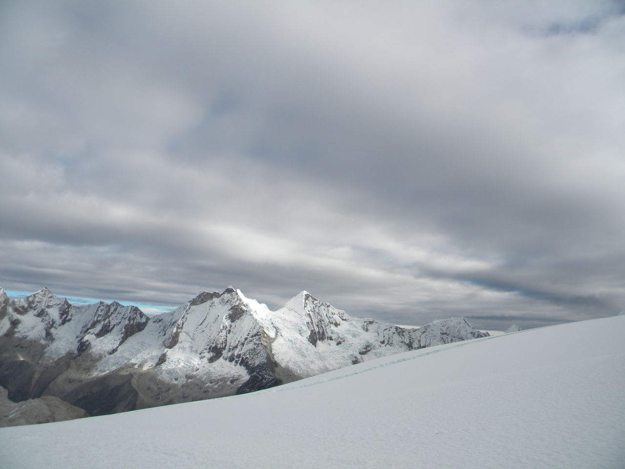
Nevado Pisco summit (5.752 metros)
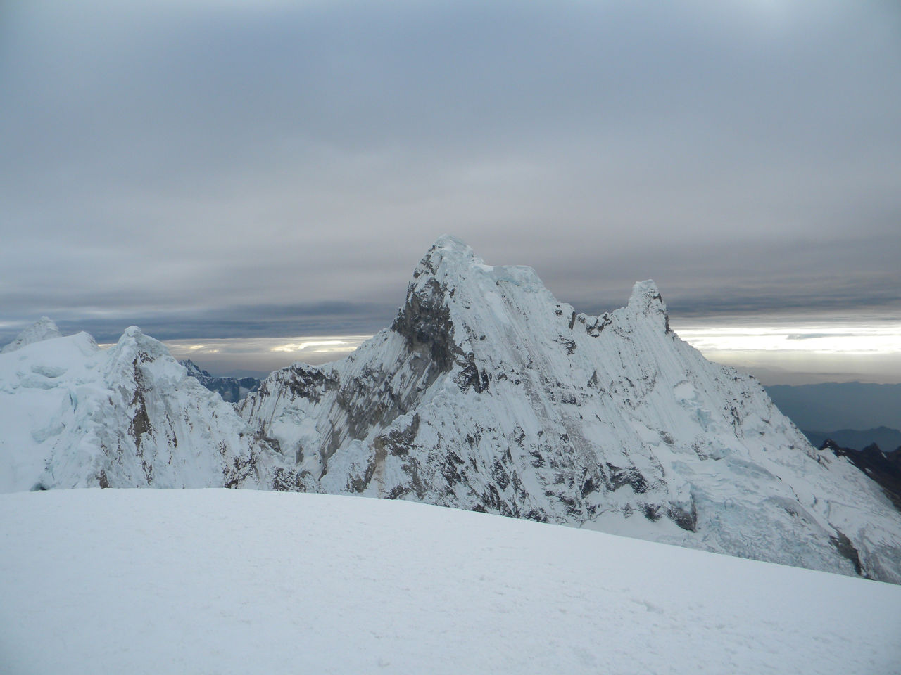
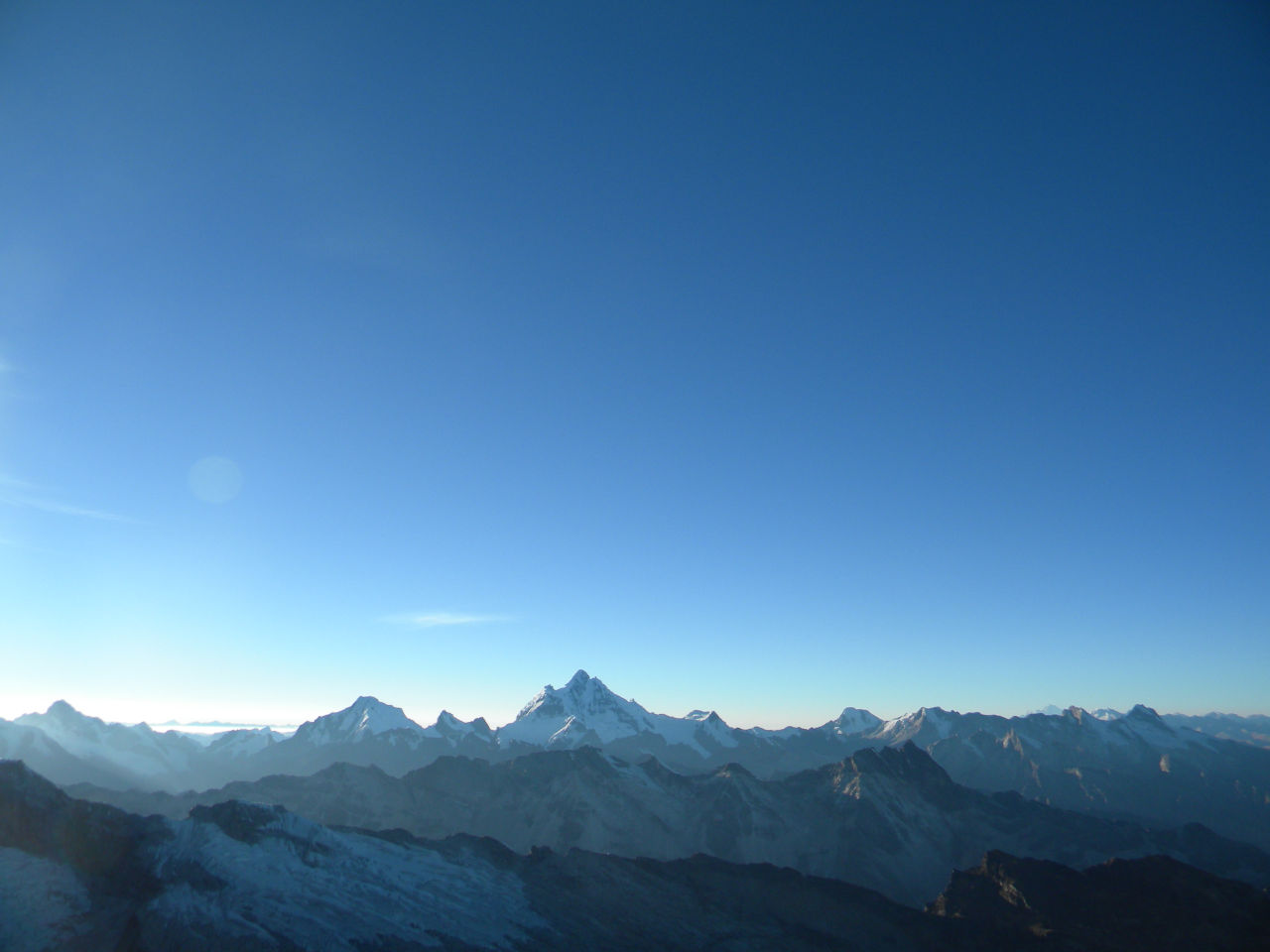
Summit view
Summit view
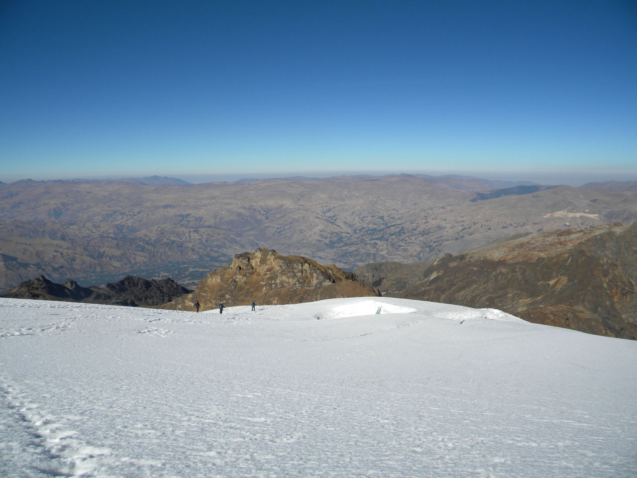
way back on the glacier
half way down
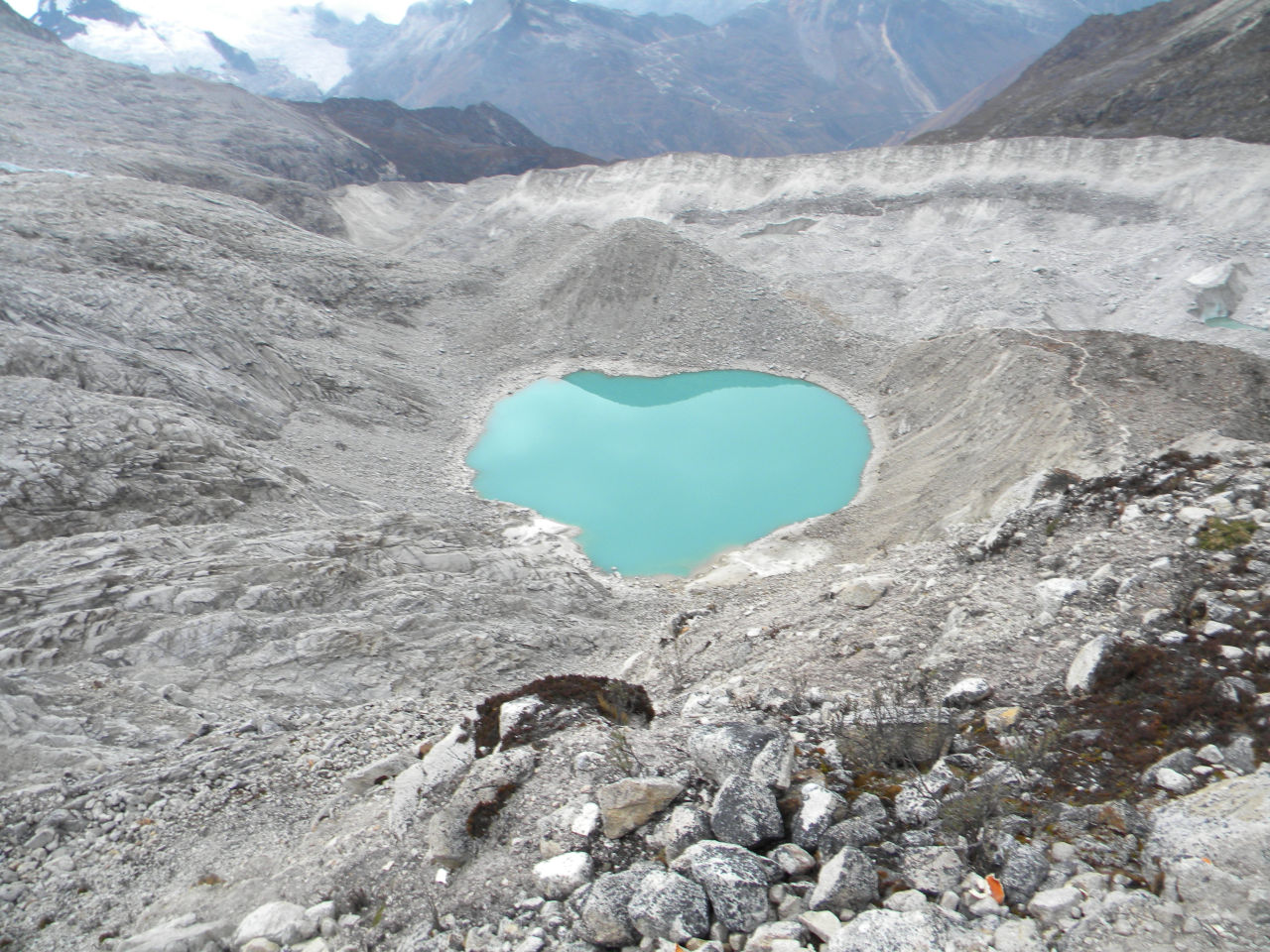
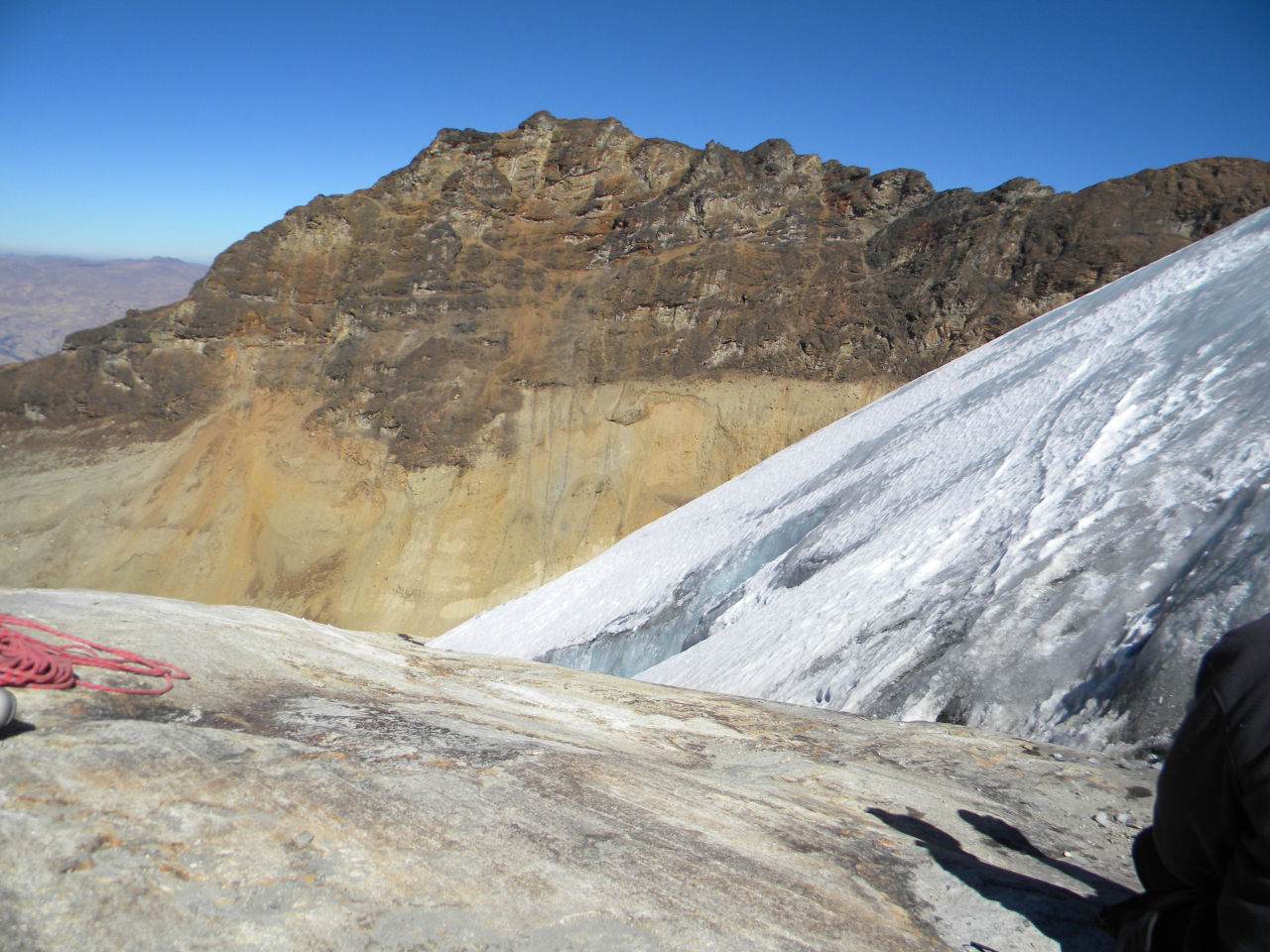
Laguna Matacocha in Pisco moraine
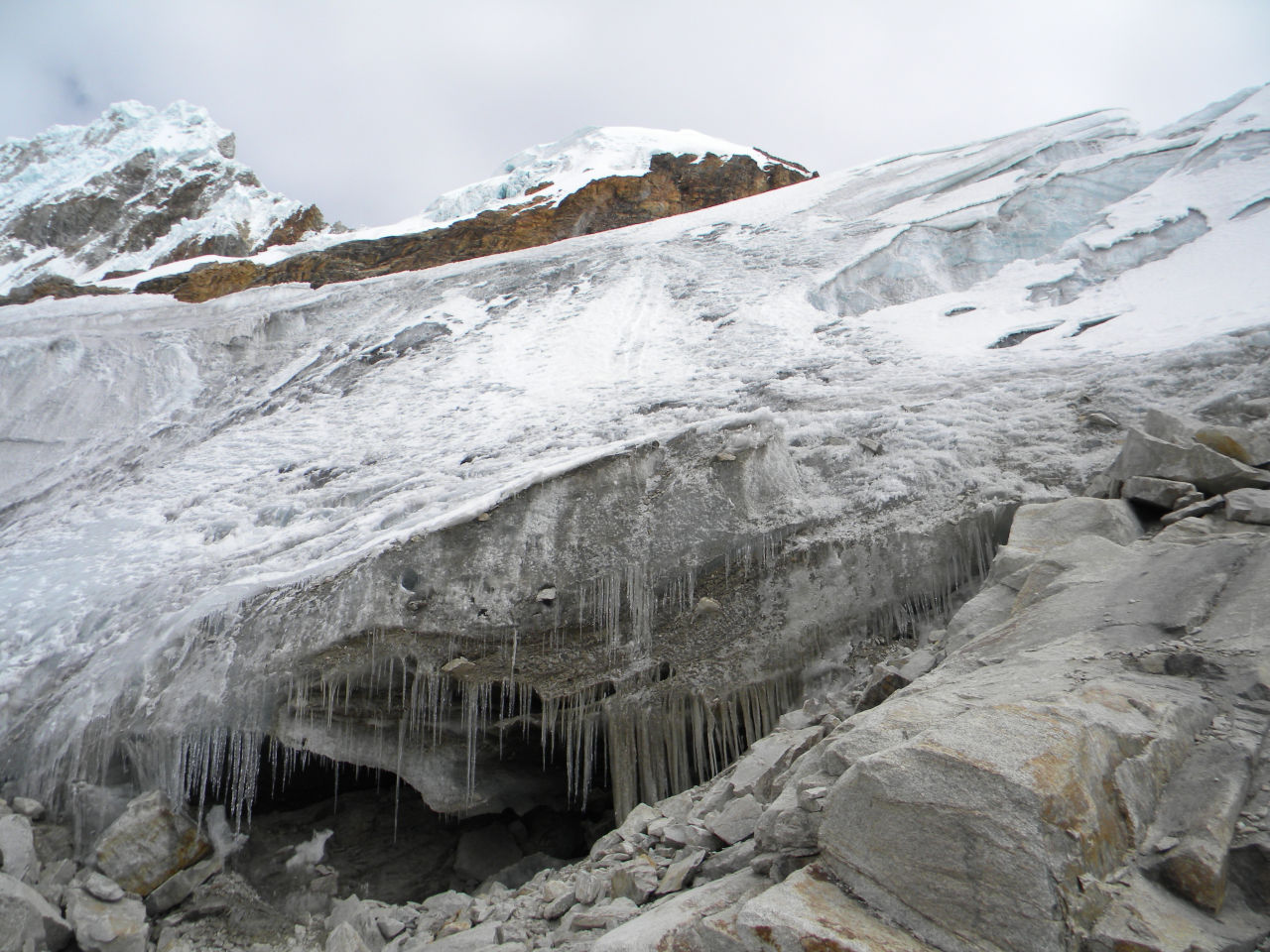
ice trail start. It change every day
End the glacier trail
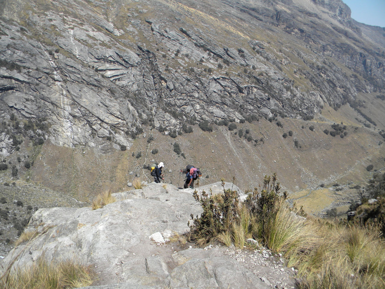
Way back on the trail leading to Laguna 69
2 people going down in the glacier.
Alessandro on laguna 69 trail
Laguna 69
Laguna 69
Me and Alessandro with Nevado Pisco in the back
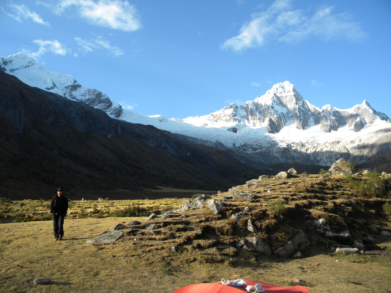
Huaraz – We spent two days resting and went to Vallunaraju mountain.
We took a car to Llaca vale, where one of the most steep climbs I’ve ever done starts. From the beginning to the camp Morrana (base camp 4760 m) takes from 2 to 3 hours depending on your physical condition. On the rise is very clear the effect of global warming. You can clearly see the distance from the glacier. We got off and left at 4:00 am for the summit. This time Alessandro was fine and can go to the top. After walking only 30 minutes we entered the ice section. It was about 3 hours to the summit. The walk was quiet good only the arrival at the summit has a bit of techniques, but it is easy. We arrived back at the base camp at 11 AM o’clock, had lunch and went down to the end of the trail and took a car to Huaraz.
Vallunaraju view from Huaraz
where the next photo was taken..
Halfway view to base camp
Alessandro still alive in the summit.
Me and Alesandro on the Vallunaraju summit.
Summit view
Summit view
Summit view
Way back
Way back
End of glacier
last climb up to the glacier
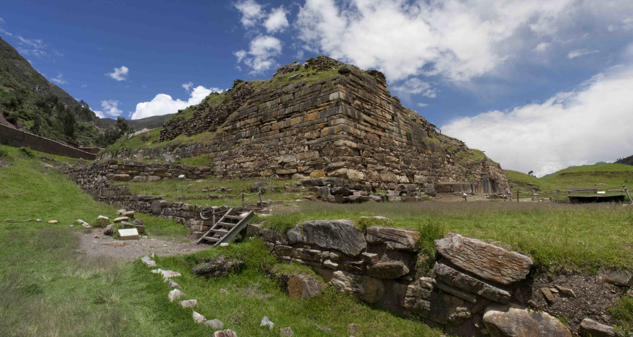
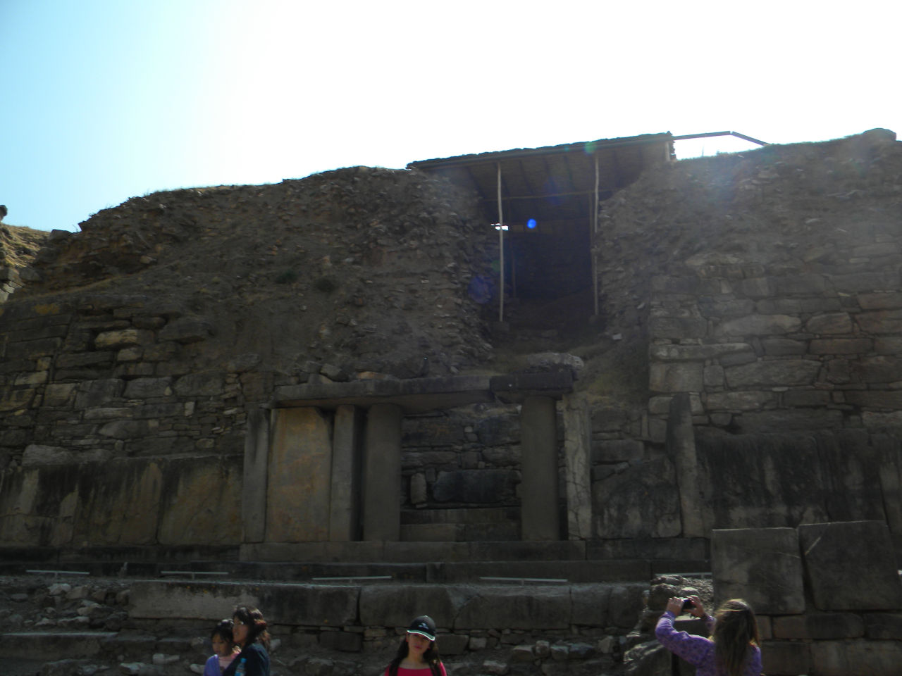
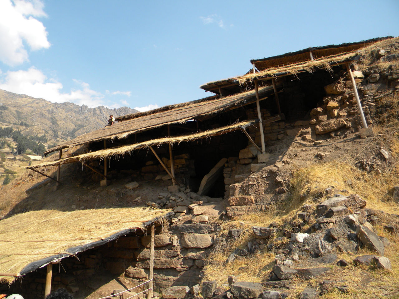
Rest in Huaraz and a visit to Chavin de Huttar.
Chavín de Huantar, an archaeological and cultural site, is 3,150 meters high, in the upper part of the Mosna river valley. It is composed of two pyramid-shaped bodies resting on top of one another, which were erected on a vast system of platforms sheltering a maze of 14 galleries. The temple became an important place of pilgrimage, which helped spread the artistic style of Chavín throughout the region, lies between the Eastern Cordillera (snow-free) and Western (Cordillera Blanca-(snow) mountain ranges in the Andes.